Nordkalottleden 2025
Quick Facts:
- Date: 06. Sep - 20. Sep
- Distance: 271km
- Weather: stable, at the beginning quite warm, later colder
- Start: Kobbvatnet, Norway
- End: Riksgränsen, Sweden
Day 1: Slow Start
We arrived via bus at the start of the tour, a little camping ground at the Kobbvatnet lake. The first 14 kilometers we hiked up a valley on a street. After the trail left the street, it quickly became non-visible, and we lost it. A bit further uphill, we found a good camping spot besides a river.
Day 2
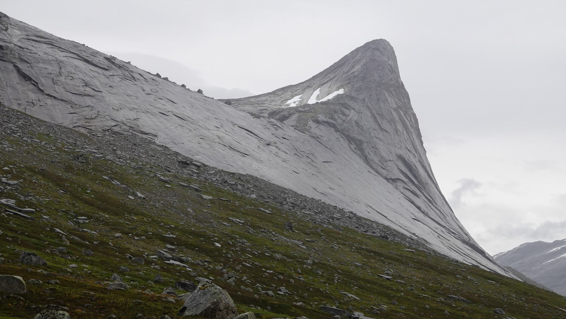
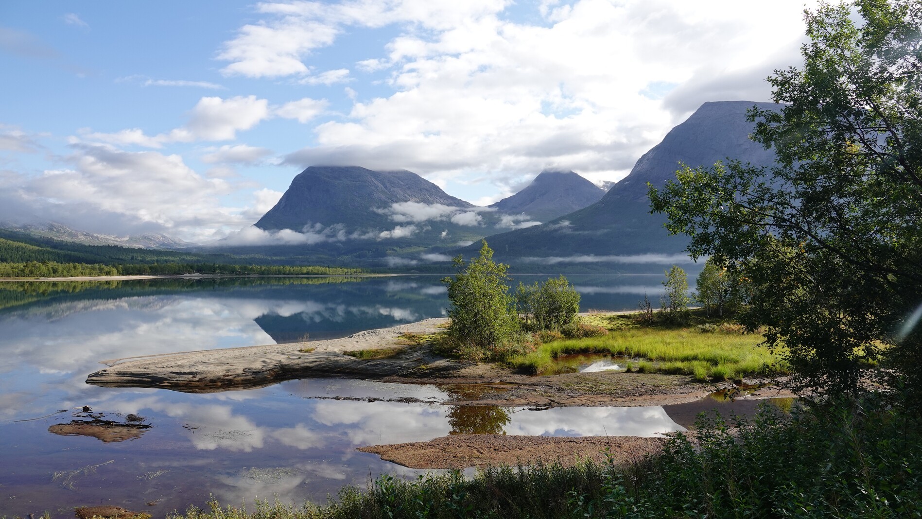
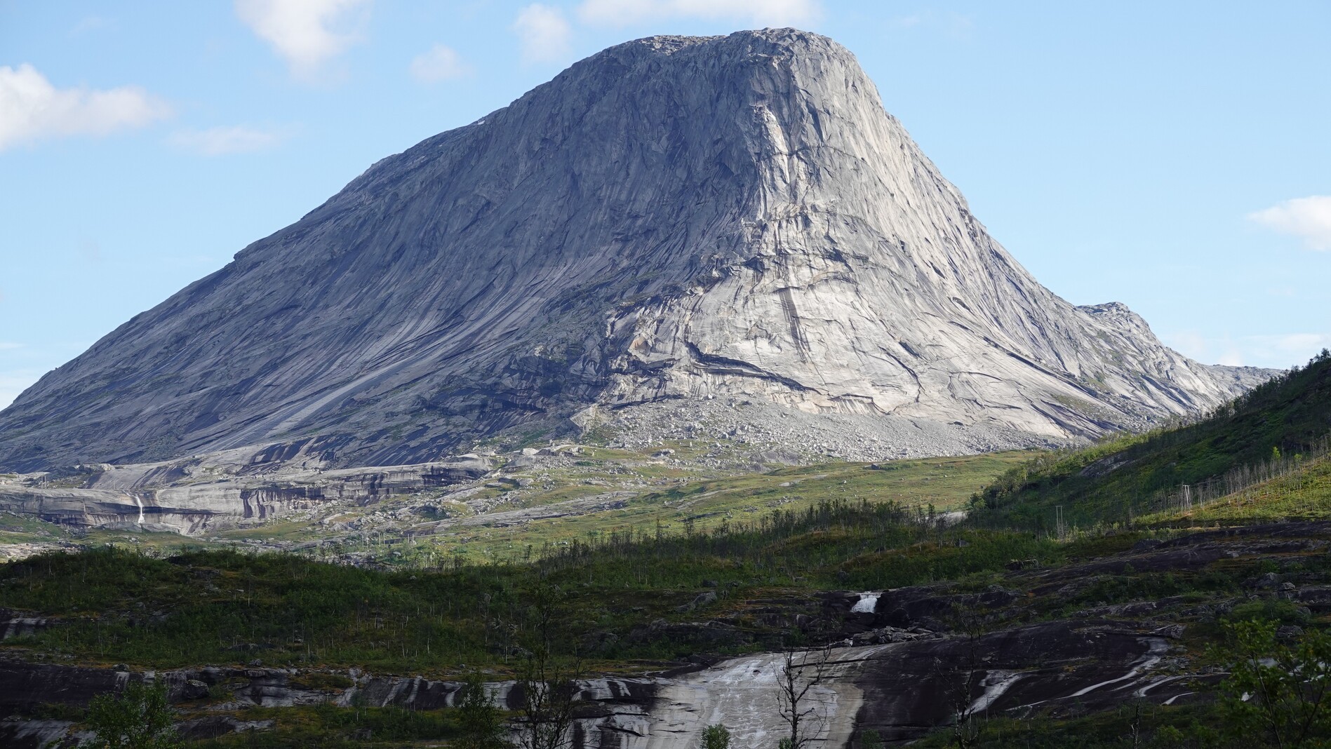
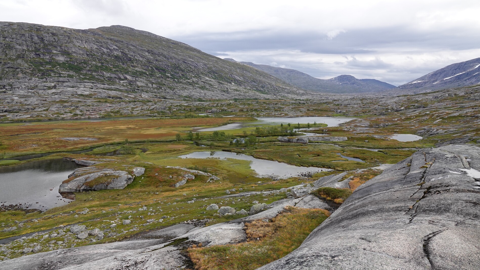
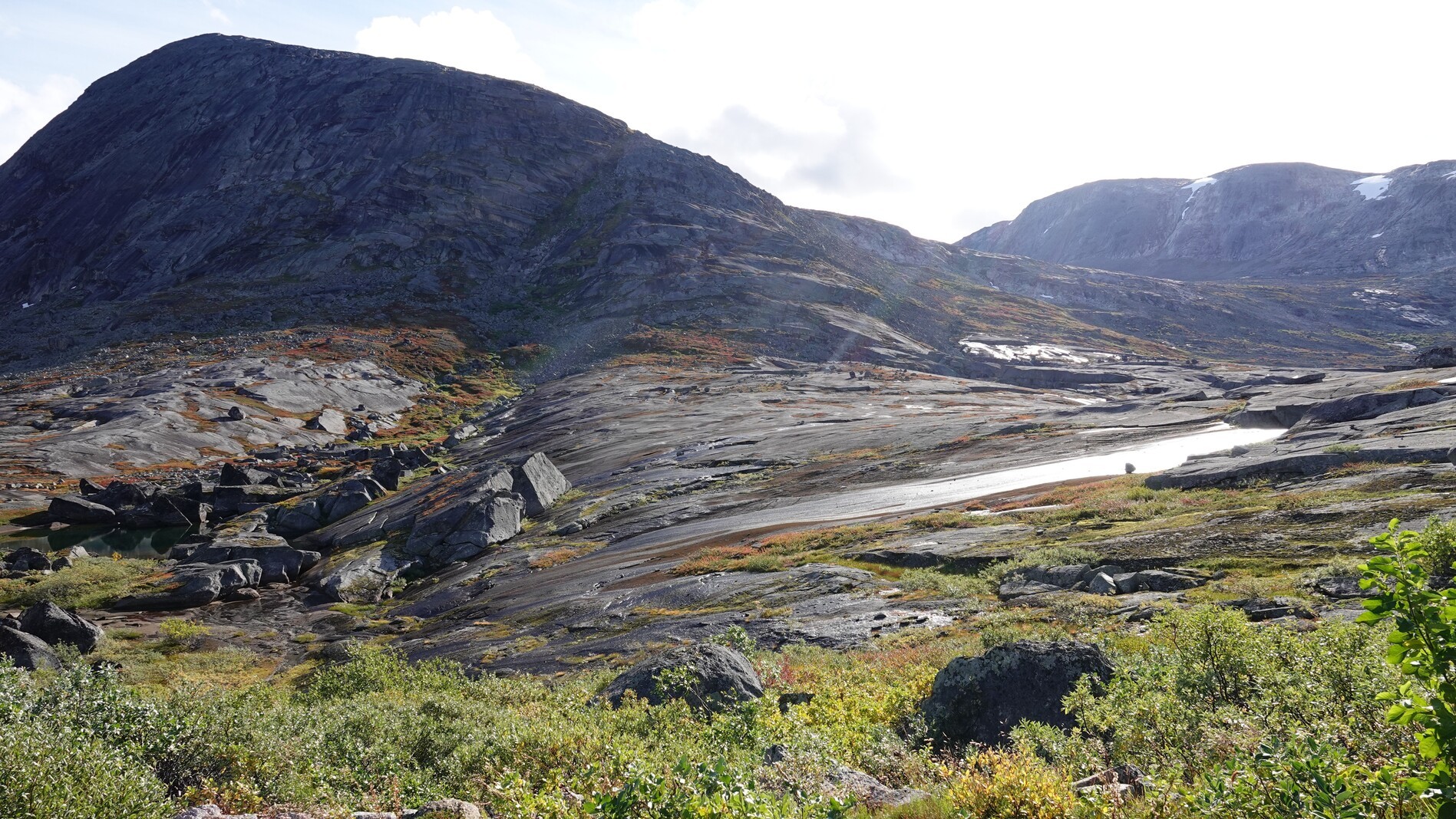
We continued our ascent to a mountain pass, surrounded by strikingly smooth rock formations unique to this region. Over the next few days, these landscapes will become a familiar sight. This day we saw some trail markers, but they were quite sparse, and no trail was visible. By evening, we camped on a peninsula in a valley, where a meandering river had carved out several lakes.
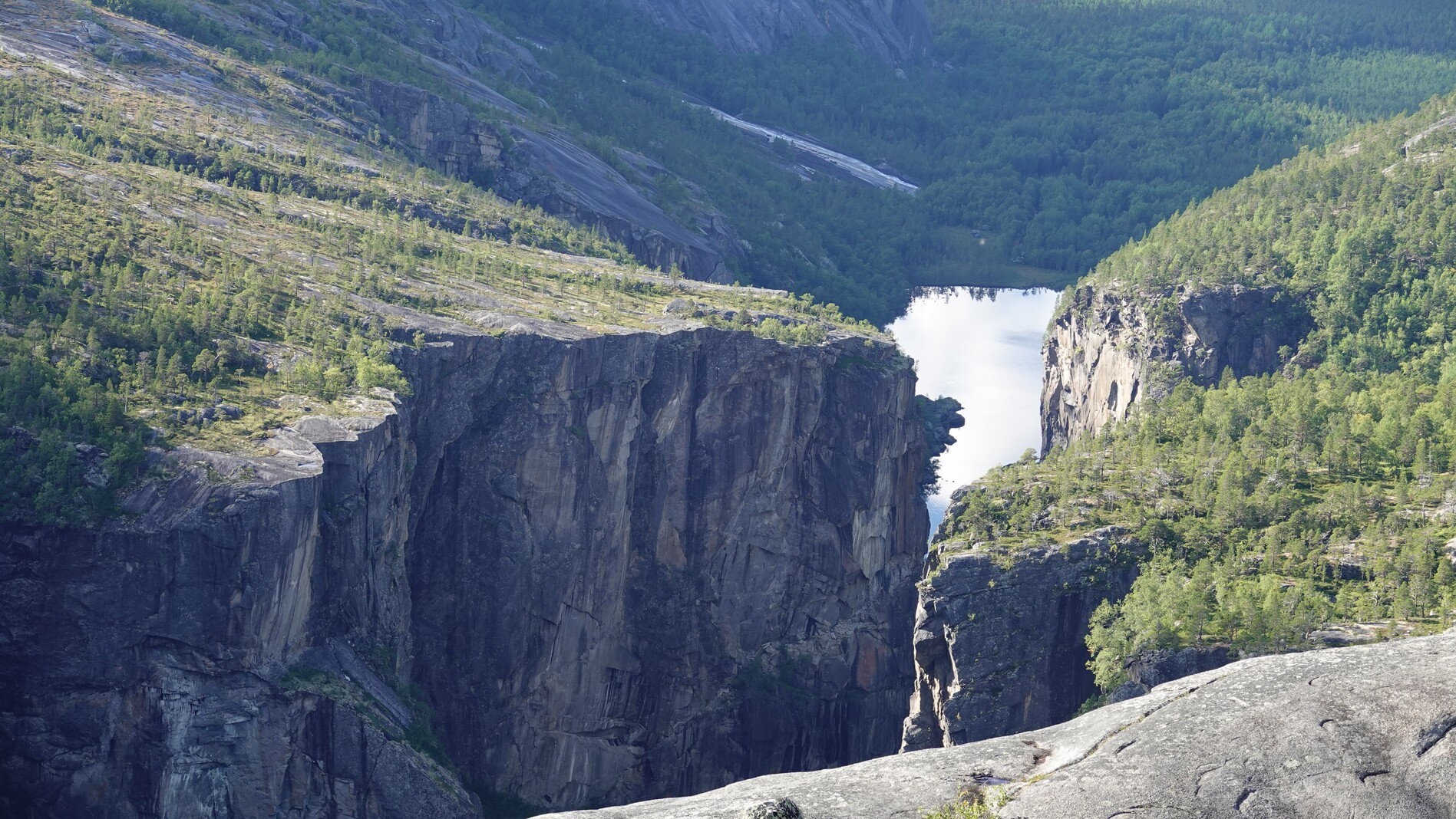
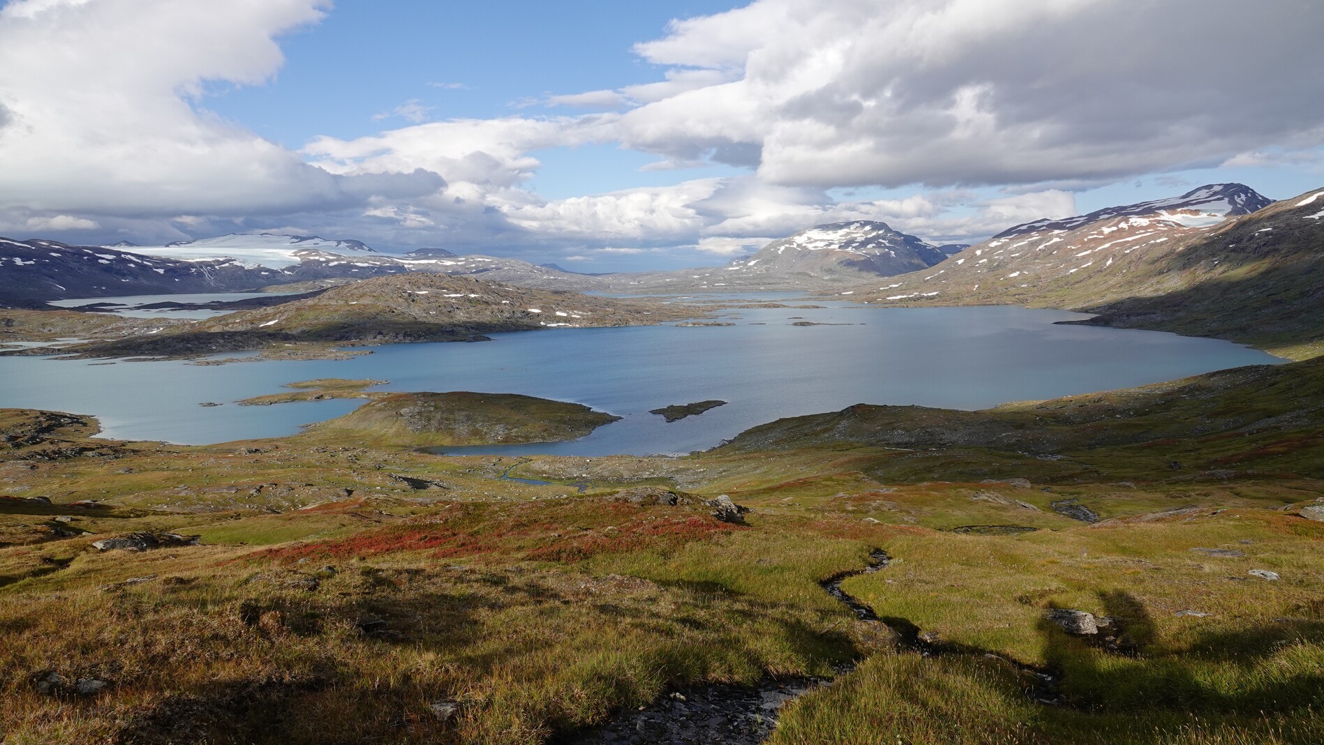
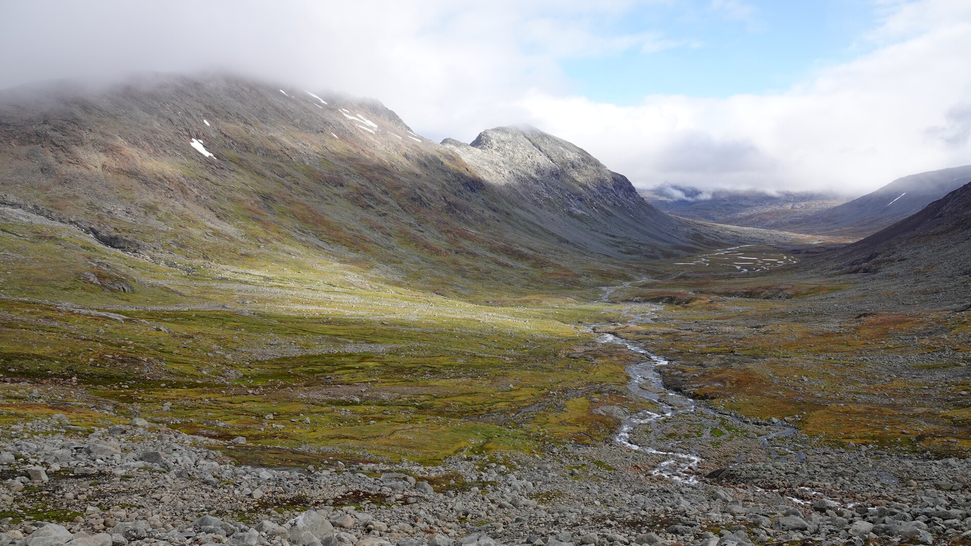
Day 3: Down and up
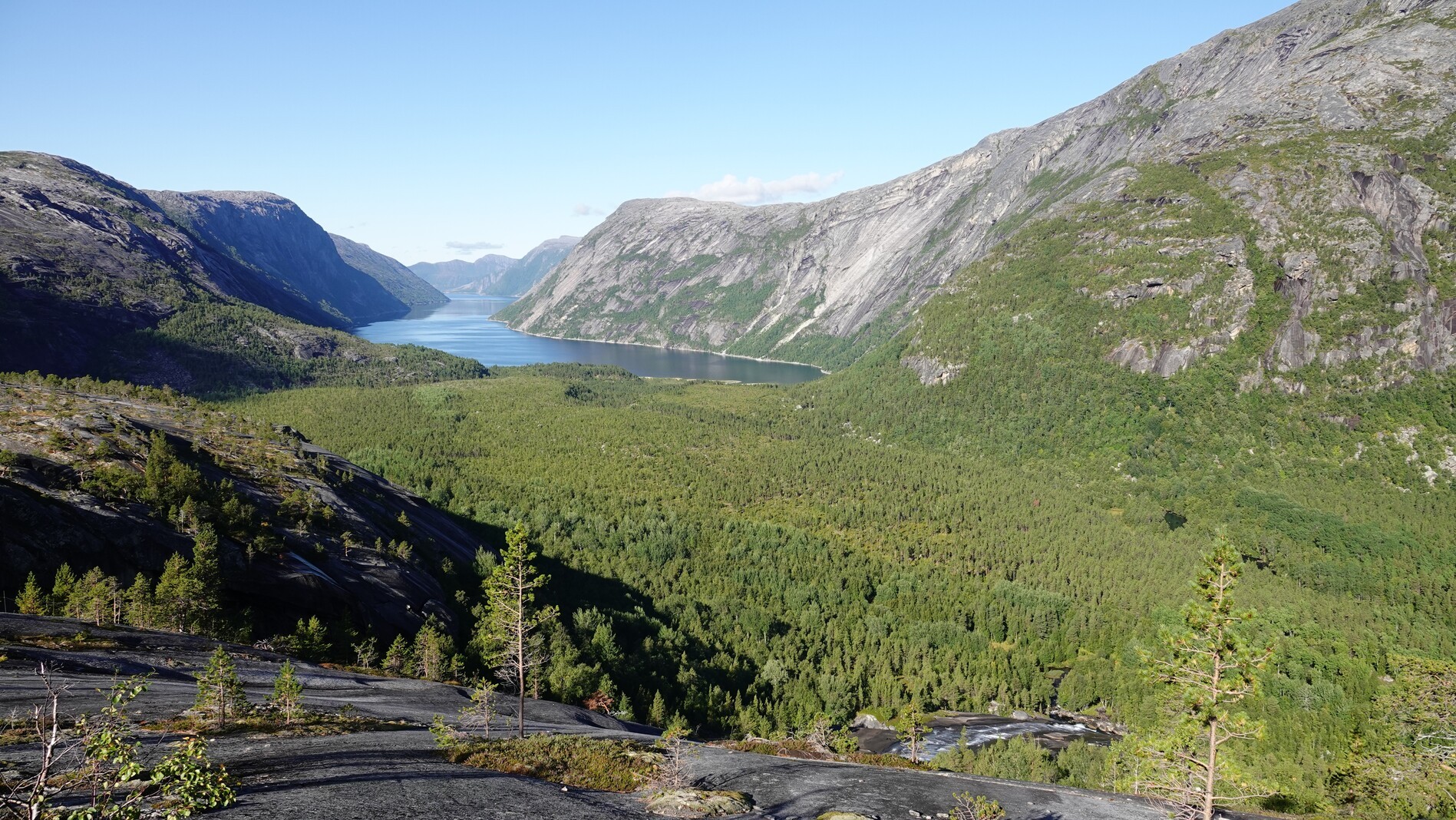
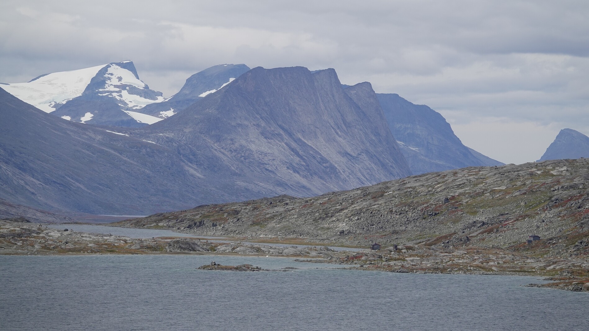
After descending over a plateau, we reached a pass where we had a beautiful view over a deep down valley at the end of which lies a fjord. We had to descend into it until we reached a hiking trail, which climbed up again. The valley in which the fjord lies forms an impressive canyon with steep walls.
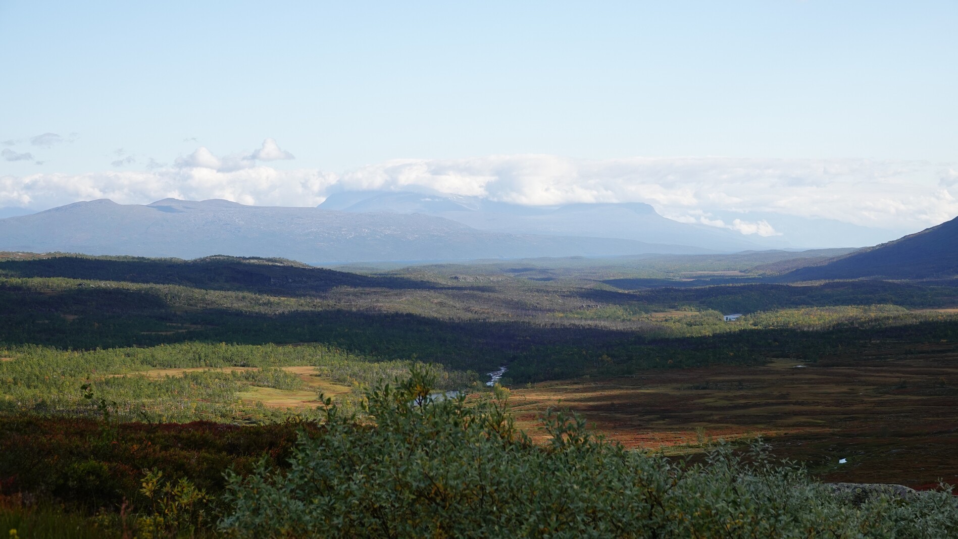
Day 4: wide
This day was characterized by a long view at the Akkajaure valley. A welcome change of scenery after the last days of mountain views.
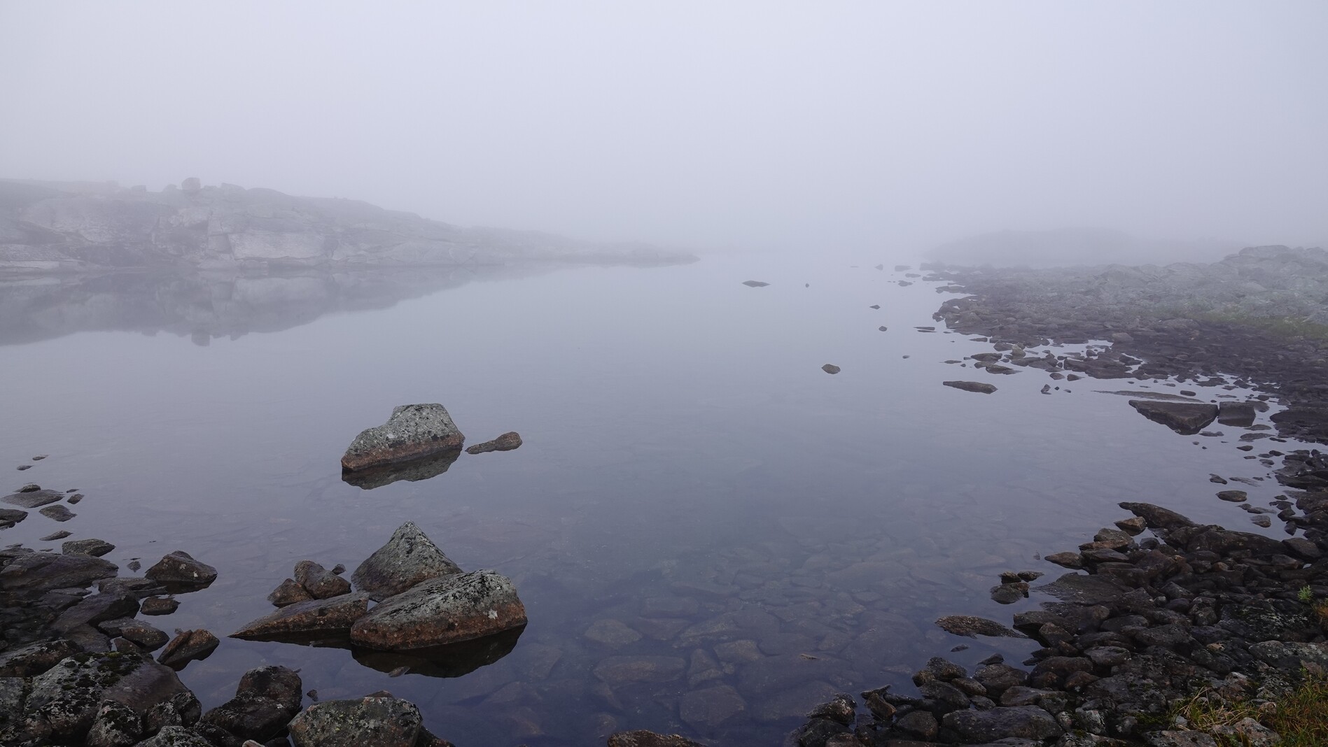
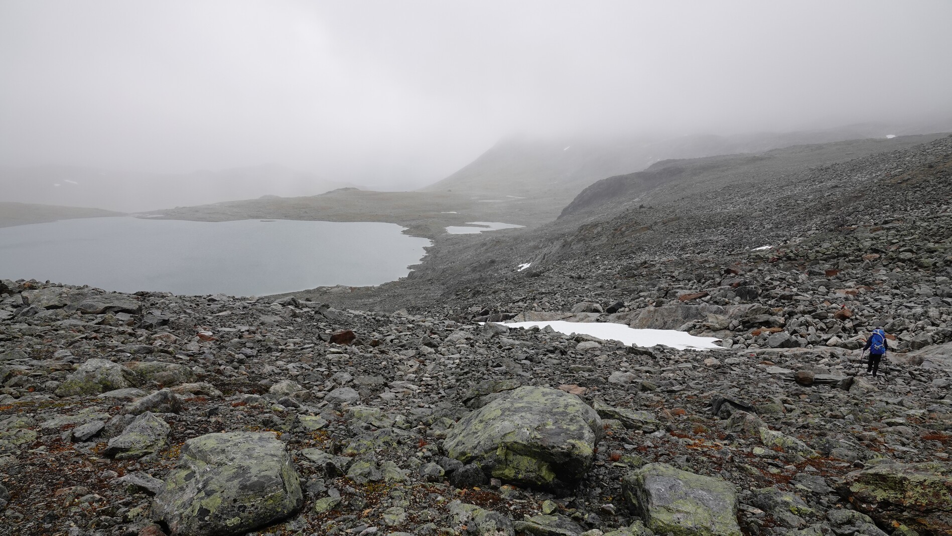
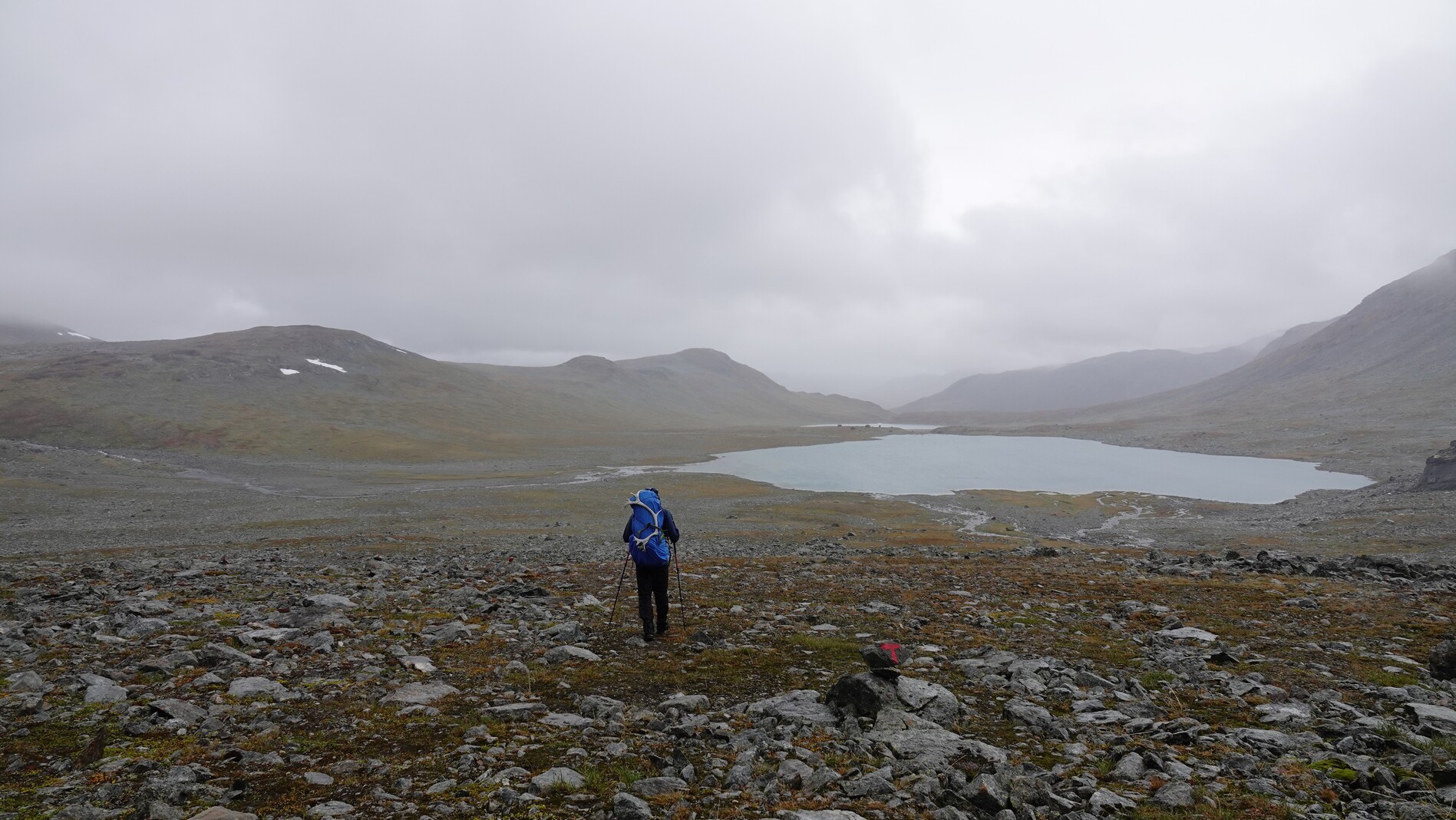
Day 5: fog
The day started with a thick fog, which fortunately lifted after a while and made way for sunshine. The whole day we followed a path marked somewhat well by cairns. Sometimes there was a visible trail, sometimes not.
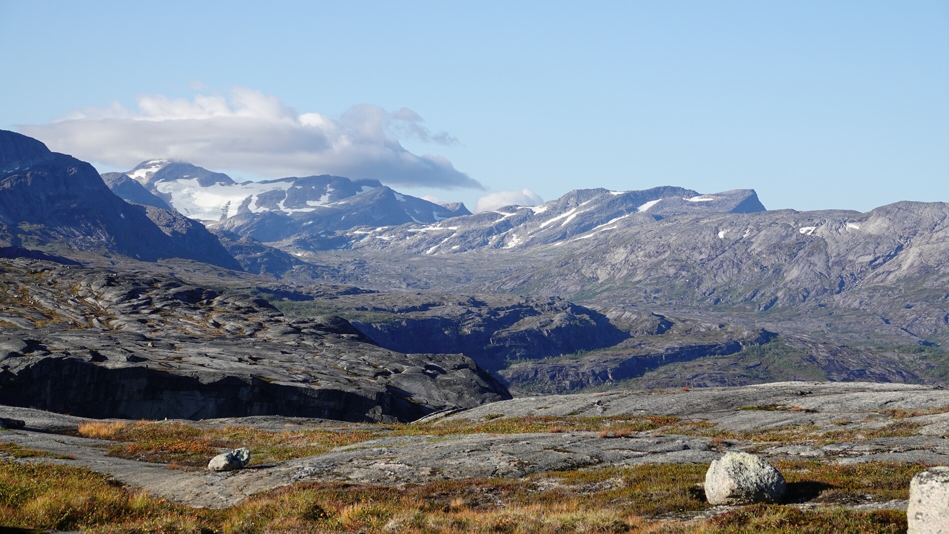
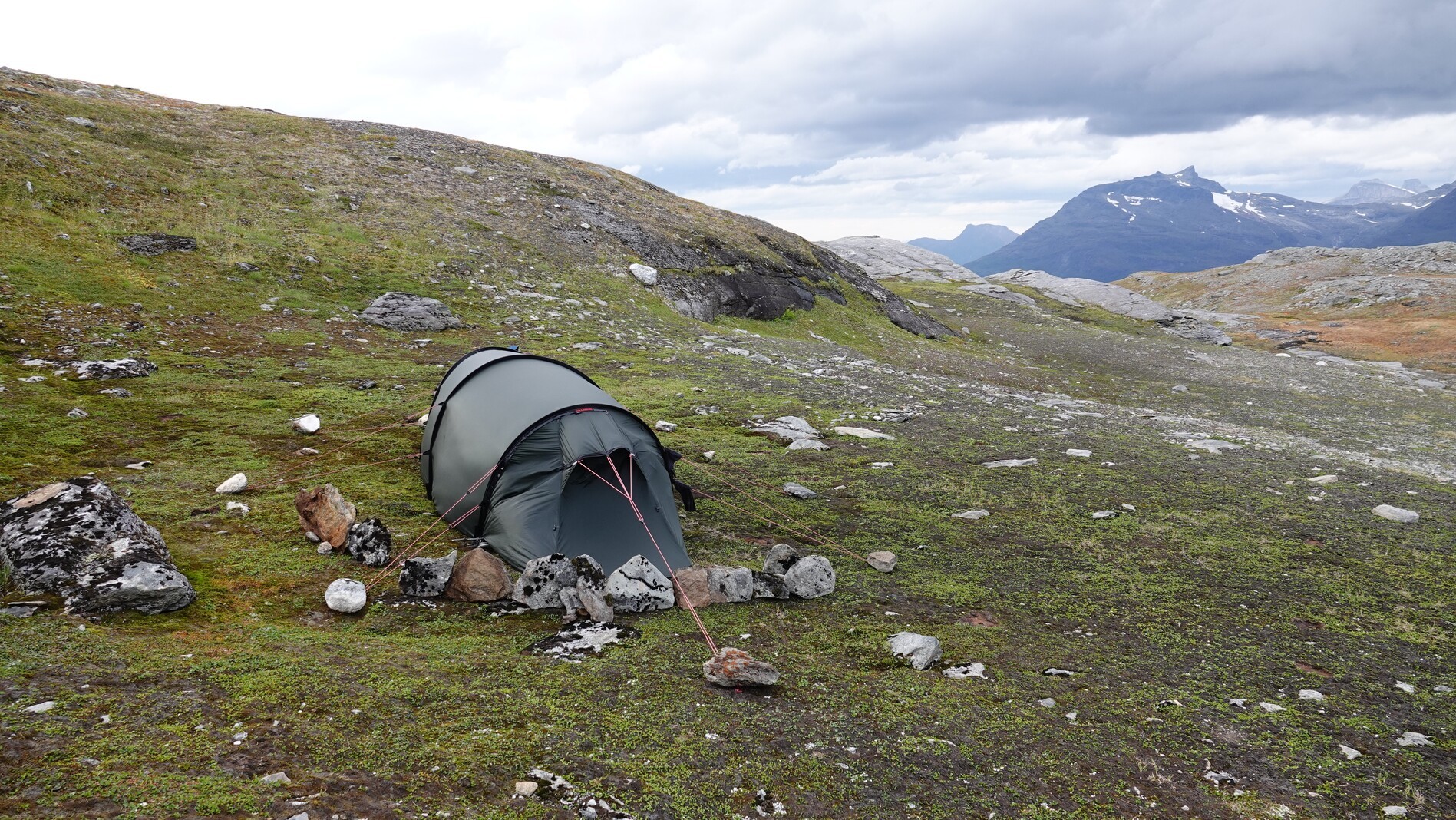
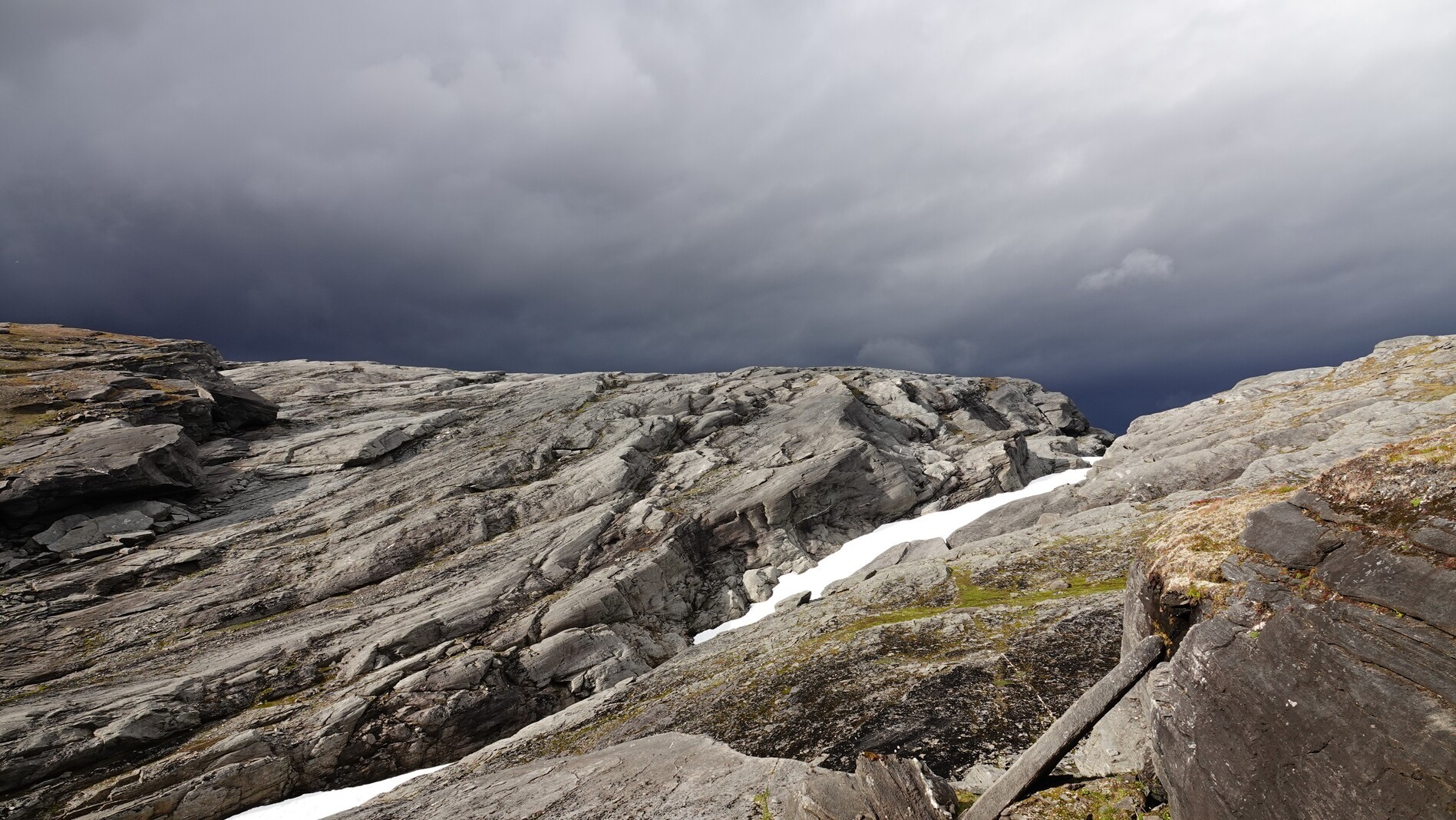
Day 6: Storm
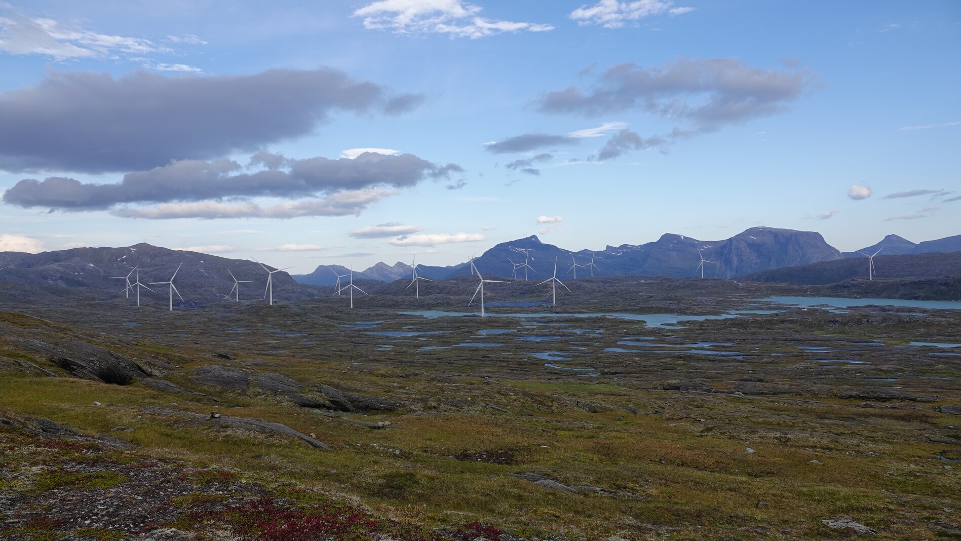
We chose the longer route to the left around the Gihtsejiegnja glacier, since the path to the right included a major bridge crossing. Several bridges we encountered in recent days had been destroyed. After we crossed a high plateau with a wind park and an adjacent water reservoir, the wind picked up considerably. A few times it almost blew me over, and we built our tent a small wind wall.
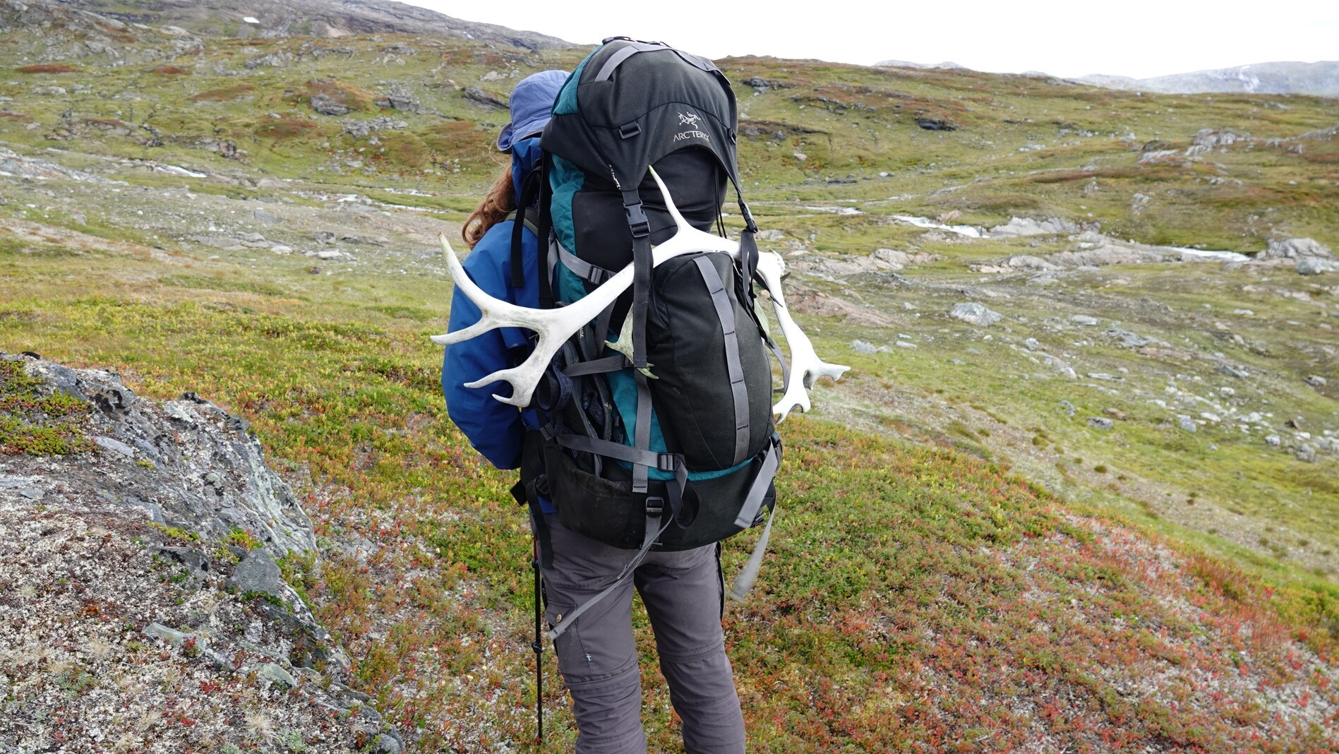
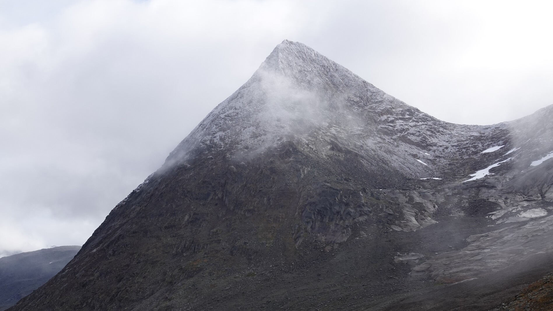
Day 7: antlers
We walked in the next valley. Up to the pass, the path was well-marked, which helped a lot as the terrain was quite steep and rutted. After the pass, the path was gone, and we had to find our own way through the rocky landscape. We also had a good view at the melting Gihtsejiegnja glacier and later that day found some big reindeer antlers. At the end of the day we could see the bridge we wanted to avoid two days ago. It was still standing and looked good.
Day 8:
The path was now well-marked again. At a break I scooped water from a small stream with my mug and only realized afterward that a dead bird was floating in the water just upstream. Thankfully, I did not get sick. We also meet a person hiking the trail in the opposite direction. The rest of the day was pretty uneventful.
Day 9: street walking
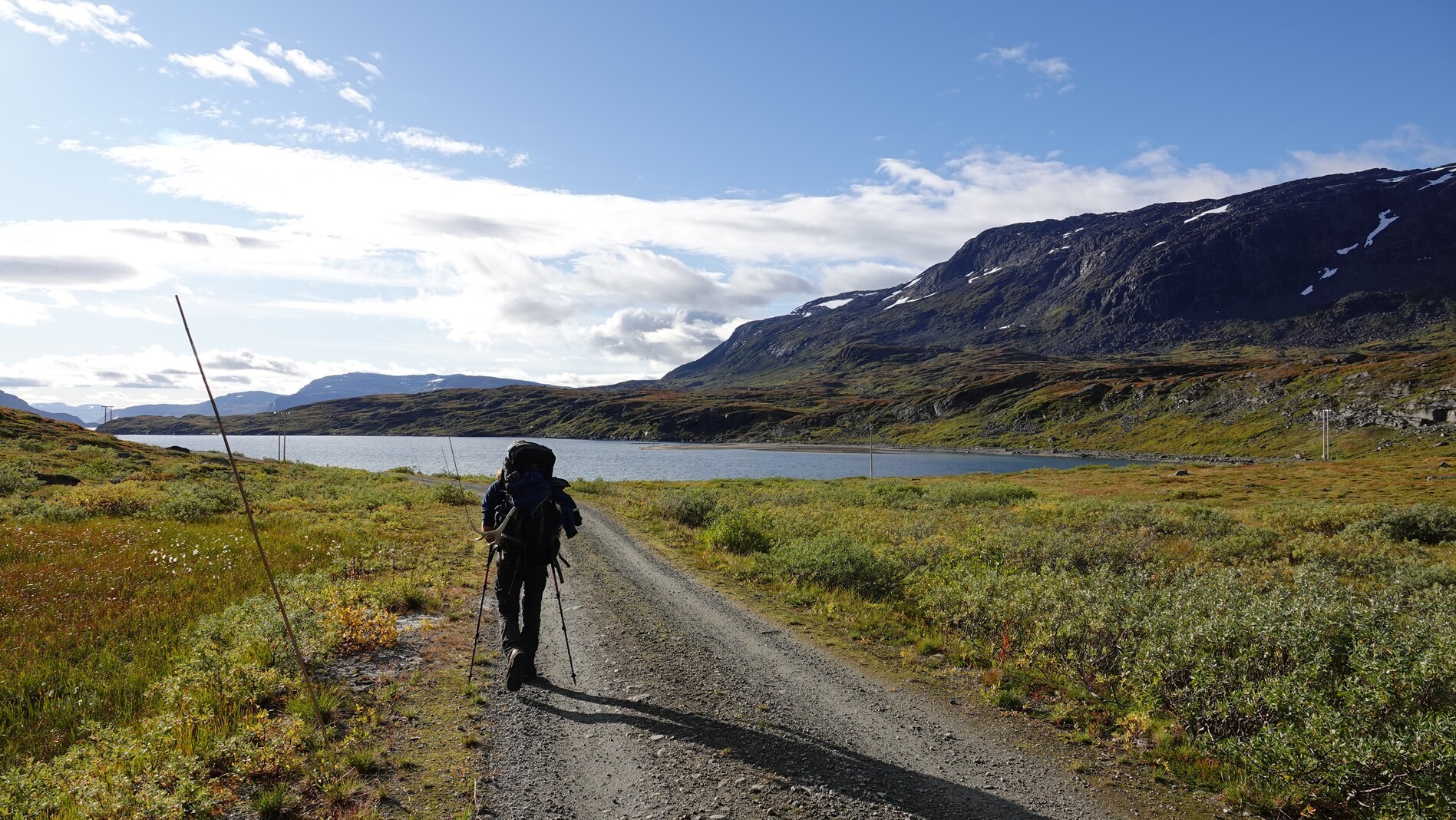
Most of the day we walked on a gravel road. It got tiring very quickly, and my knee started to hurt. Over my hikes I made the experience that walking on roads is much more straining than walking on trails.
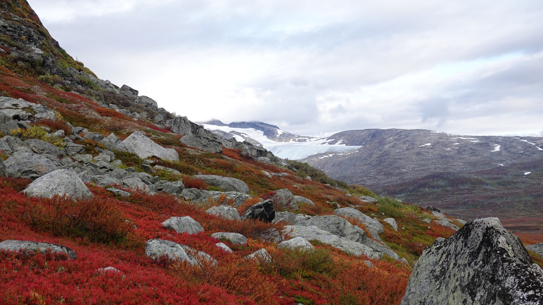
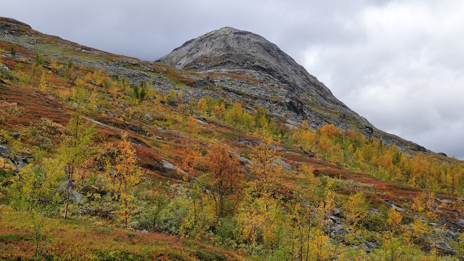
Day 10
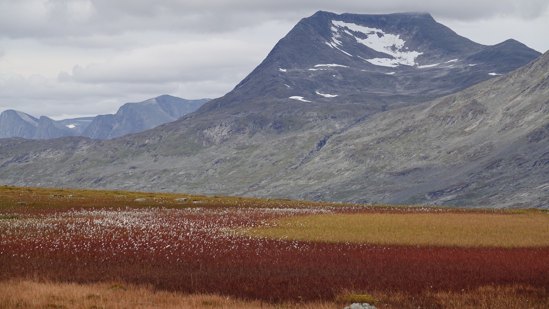
The beginning of autumn started to become more and more noticeable. The vegetation, and with it whole mountain ridges, turned yellow and red.
Day 11: rain
Naturally, on a day when good weather was important, it rained. Most of the day we walked in big stone fields, which are very slippery when wet. At least the trail was marked very well.
Day 12: color
As we descended from the stone desert, we entered a colorful, swampy valley. There was some dirt road walking again, but not as bad as on day 9.
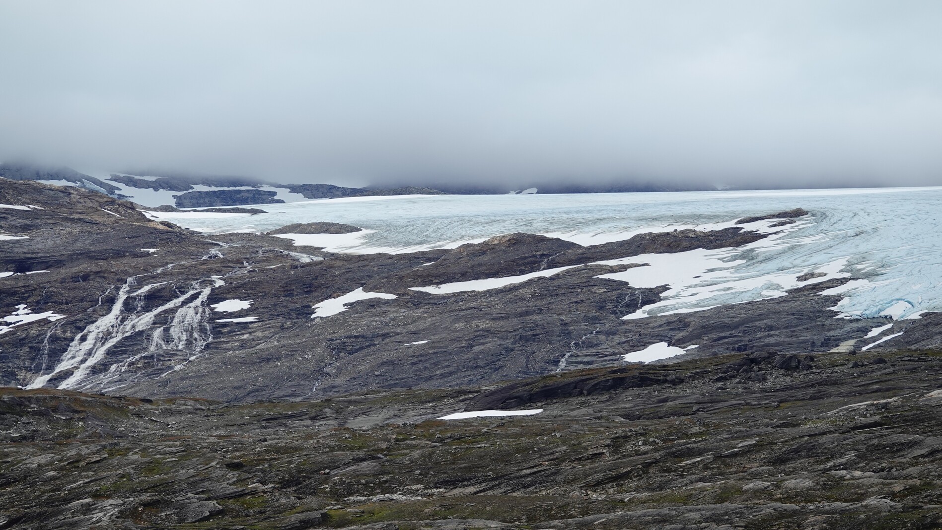
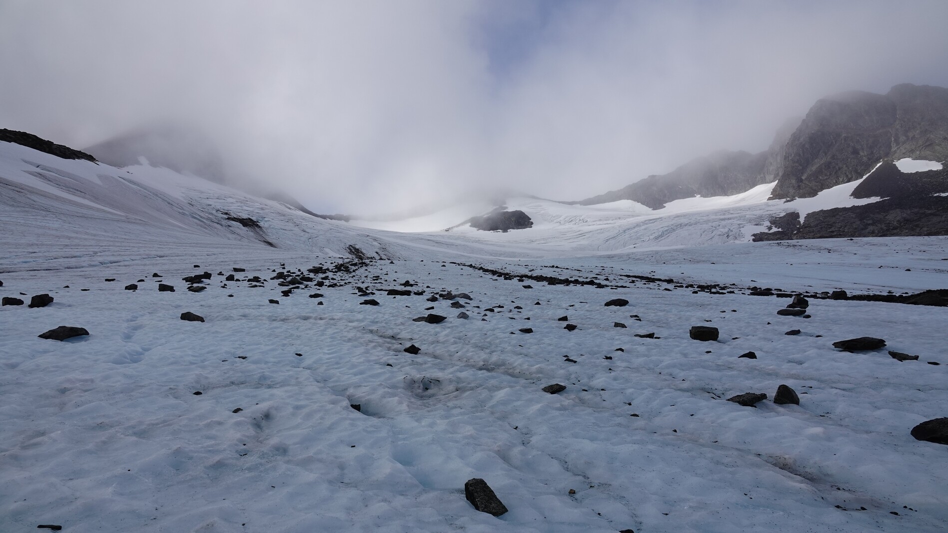
Day 13: clouds and glacier
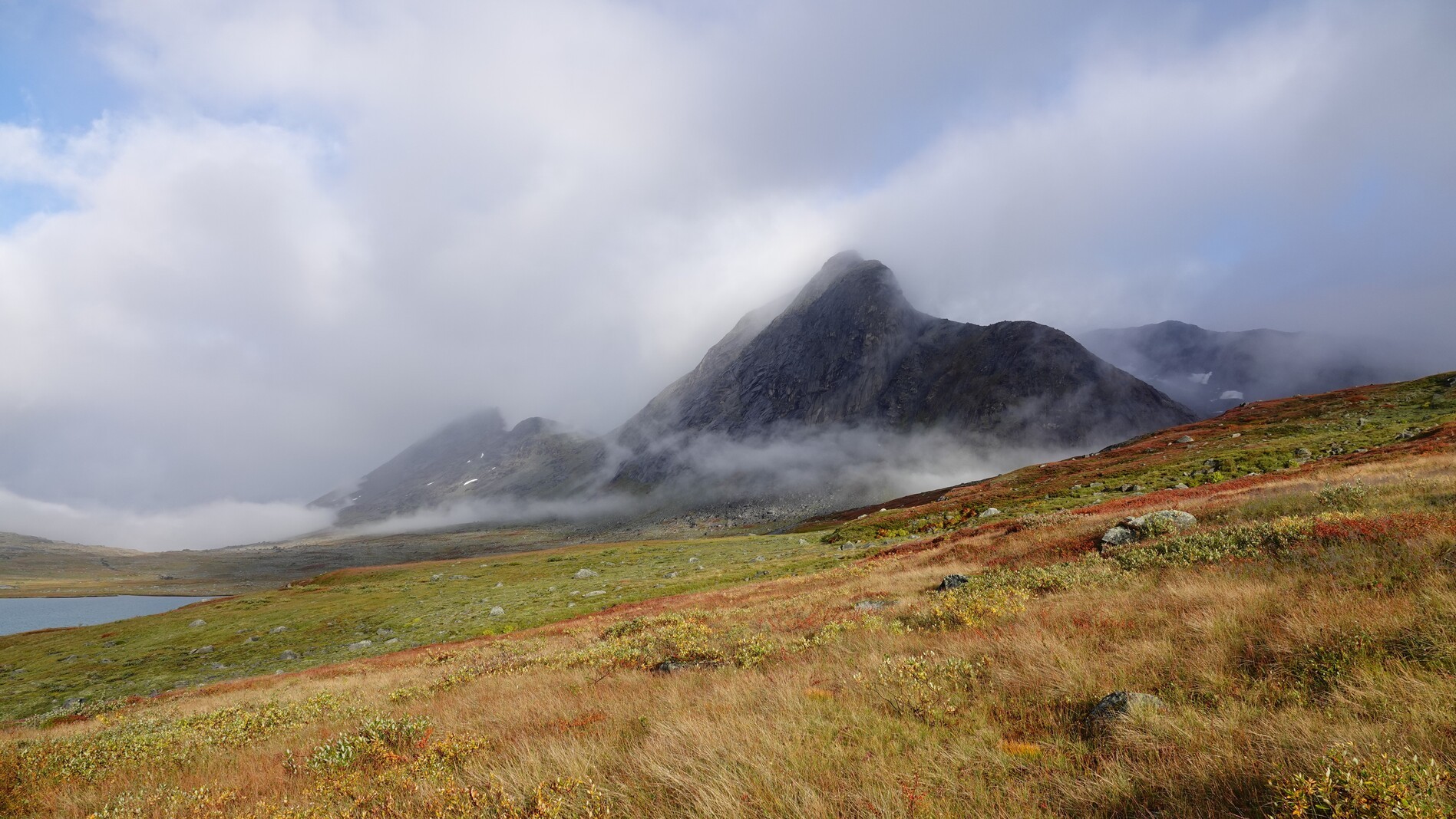
Fortunately, the weather cleared up in the morning, and we walked into a beautiful high valley with steep hillsides on both sides. After the pass we crossed a glacier tongue. The glacier here was approximately 20 meters less thick than on our map from 2017.
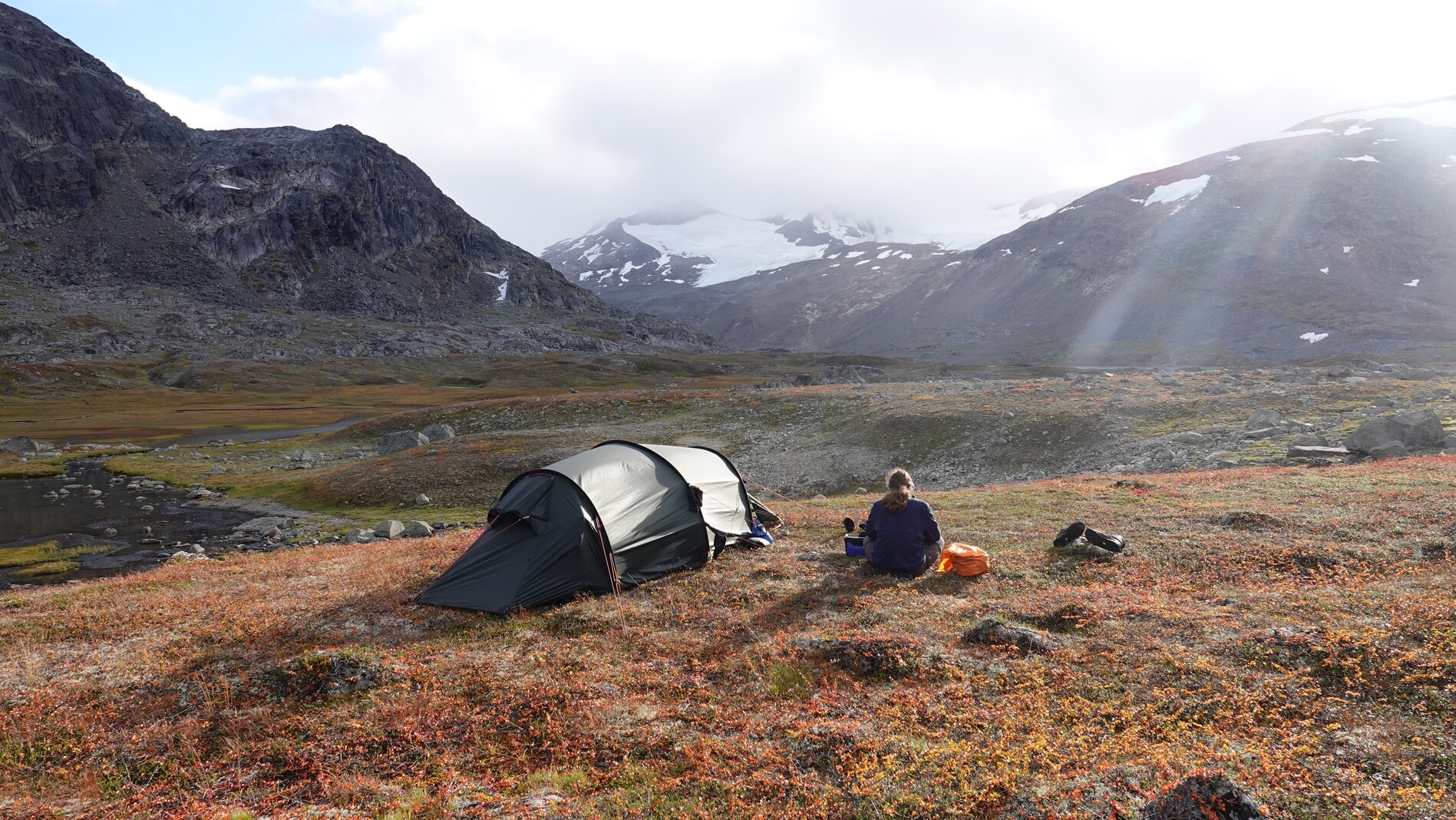
Day 14: side adventure
As we had some time left, we took a side trip to a nearby pass where we hoped to have a good view. Sadly, the weather was not on our side, and up on the pass we were surrounded by clouds and fog. In the night some snow fell on high mountains.
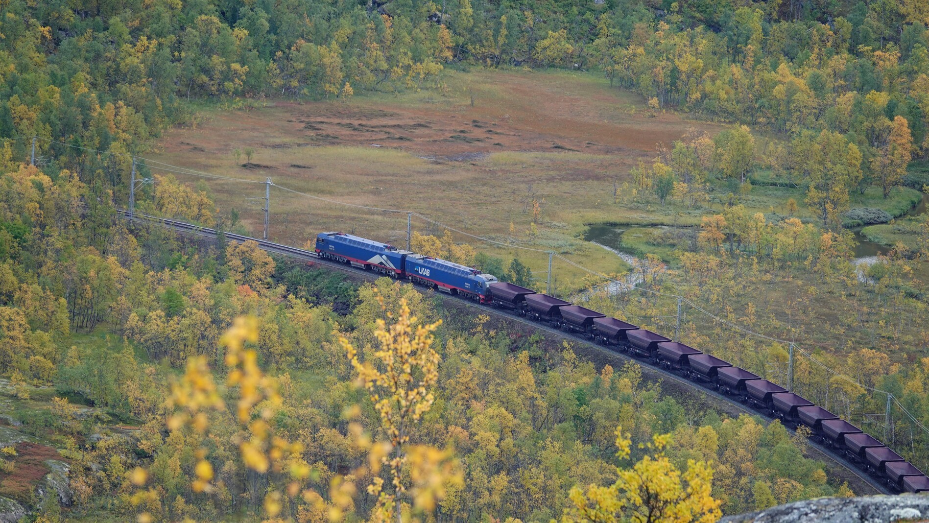
Day 15: walking out
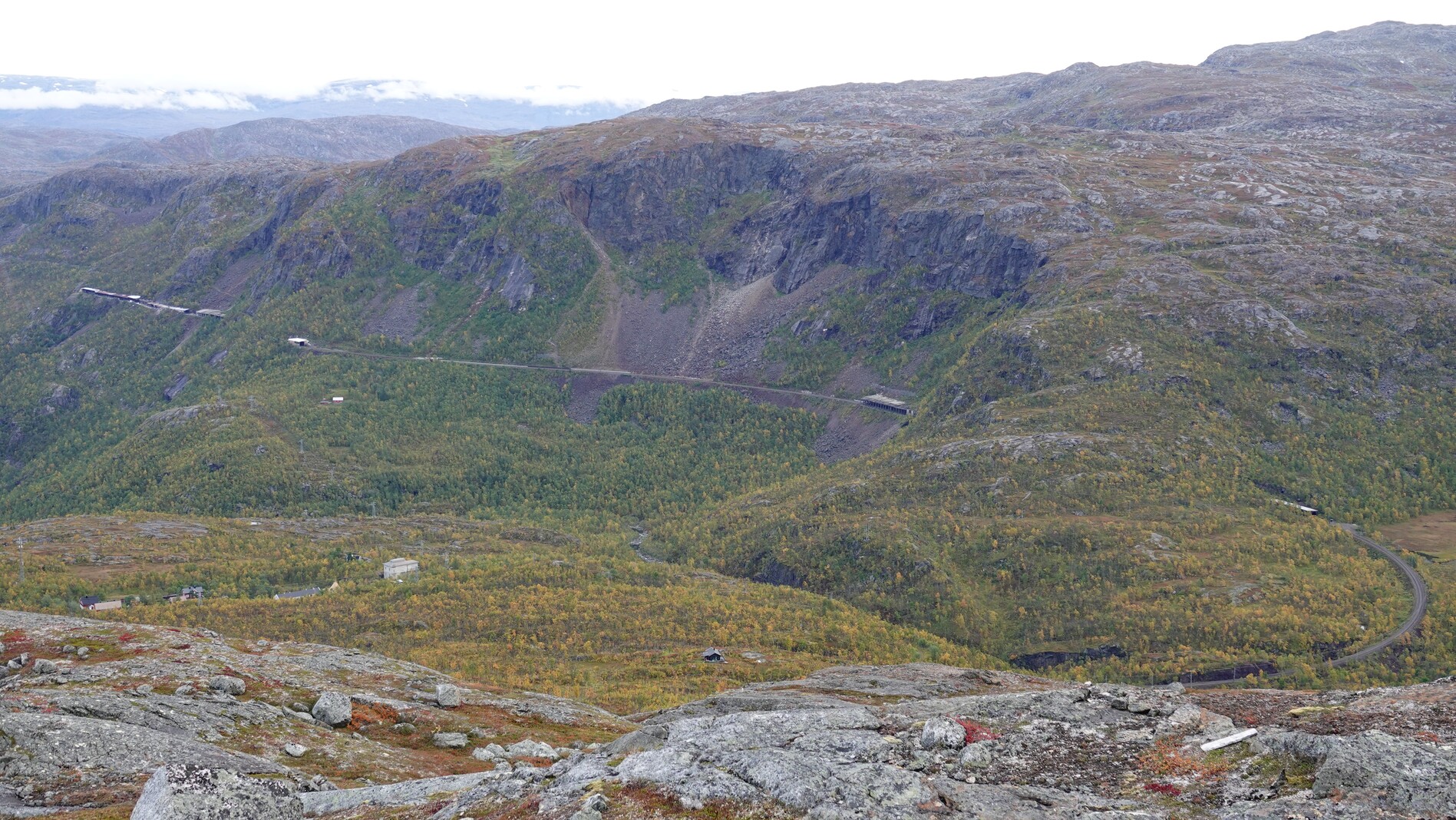
Last day. We walked with some beautiful wide views down to Katterat train station. Then took a left turn and went over a pass and a mountain lake to Riksgränsen.
Animals
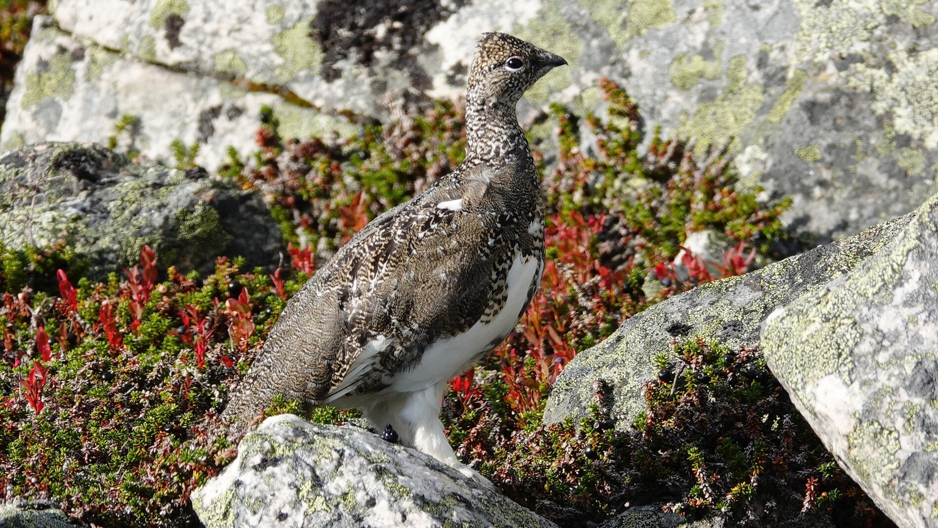
Sadly, we saw few animals on this trip.
- Rock ptarmigan: and lots of them. They often startled us with their loud flying noises.
- Reindeer: sadly just one. They seemed to have stopped reindeer farming in this area.
- Mosquito: but not to many of them as the summer was ending
Books
The good thing about long-distance hiking is that you cannot hike the whole day, so there is plenty of time for reading left.
- Storm of Steel by Ernst Jünger. Excerpts from the diary of an WW1 infantry leader. Ambivalent war book.
- All Quiet on the Western Front by Erich Maria Remarque. Anti-war book. Reading those two books will give you a better understanding about German society after WW1.
- The Handmaid’s Tale by Margaret Atwood. America in ~5 years.
- Lord of the Flies by William Golding. A story about a group of boys stranded on an uninhabited island and their society.
- To Kill a Mockingbird by Harper Lee. Beautifully written story about the deep American South in the 1930s.
--------------------------------------------------