Greenland 2026
Quick Facts:
- Date: 12. Sep - 27. Sep 2026
- Distance: 260 km
- Weather: very good for the season. We had lots of sun. Nighttime temperatures between -14° and -5°. Daytime temperatures between 12° and 5°.
- Start: Kapisillit
- End: Nuuk
The trip started with a ~3-hour boat drive from the capital Nuuk to the small settlement of Kapisillit. From there in the first half of this trip we did a trip to the inland ice and the lake Uukkaasup Tasia. Through the Austmannadalen we hiked back to Kapisillit. In the second half of the trip we hiked back to Nuuk.
Day 1: The Start
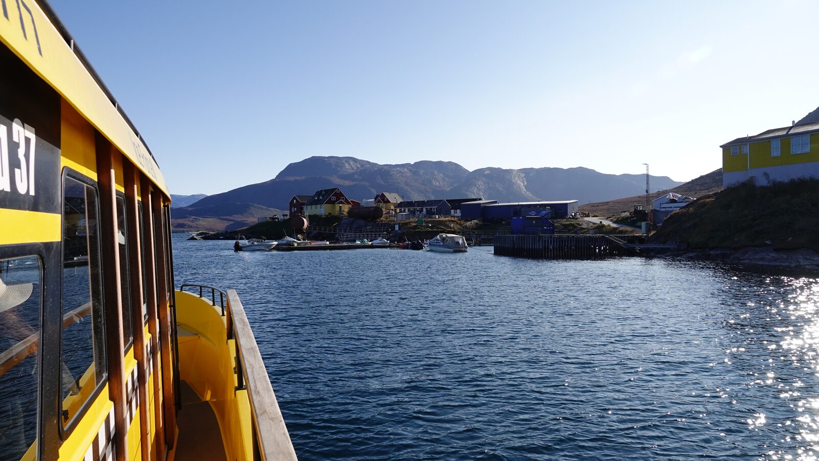
On the first day early in the morning we took a boat ride from Nuuk to Kapisillit. The ride took about 3 hours while we had a good sight of the fjord. Kapisillit is a small village, but it has everything a village needs: a small supermarket, a church, a school and a gas station. The owner of the supermarket was very nice and agreed to let us store some supplies at her house. From Kapisillit we started walking up into the mountain ridge in the direction of the ice fjord. Through very beautiful valleys we walked until we reached the top and could camp with a view over the ice fjord to the inland ice.
Day 2: Parallel Crossing
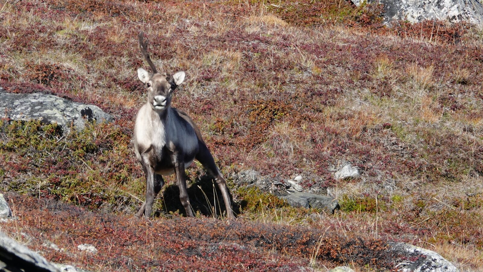
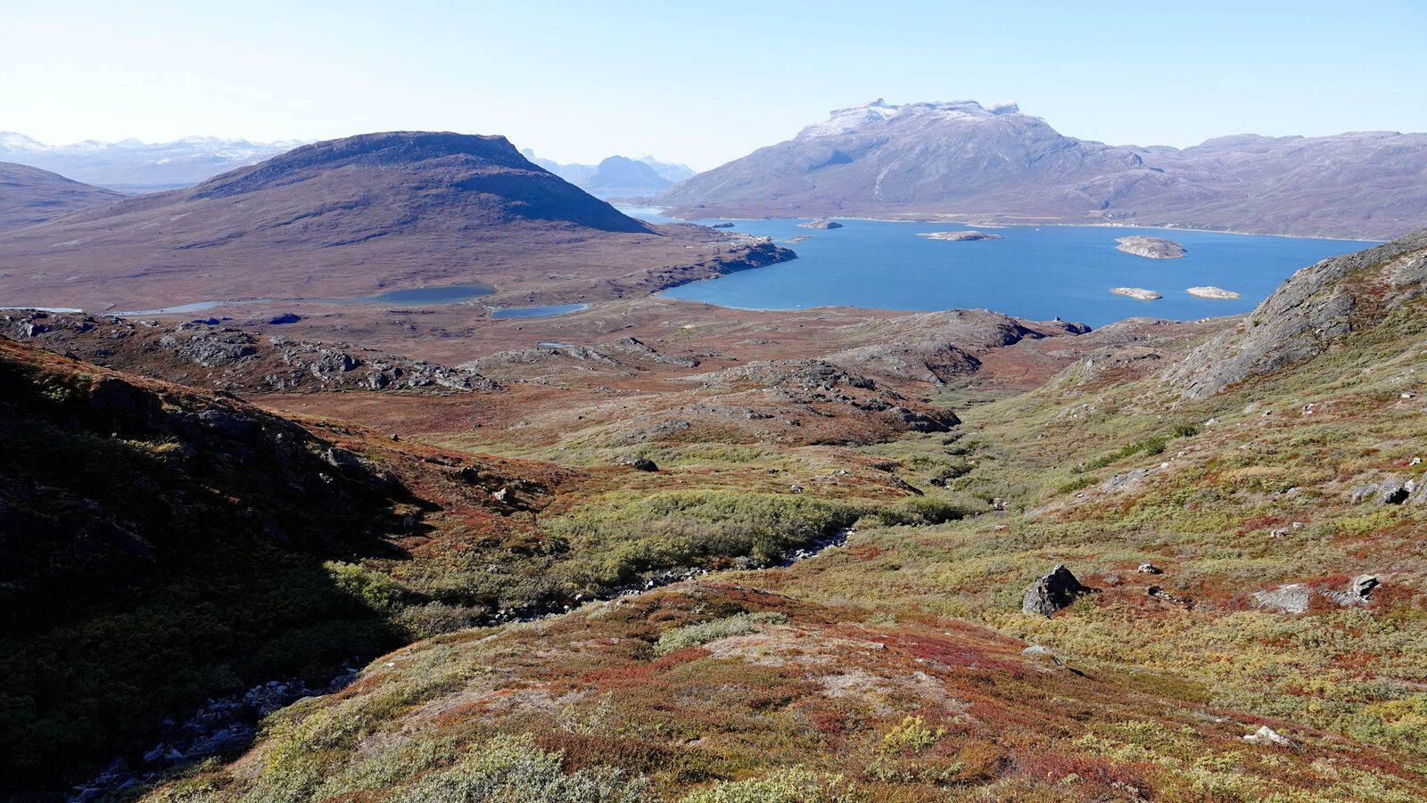
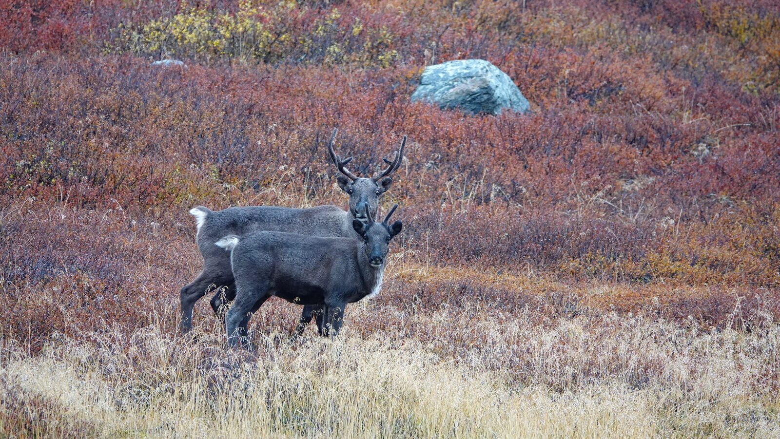
This day was shaped by the view upon the ice fjord. We also saw some reindeer. We kept parallel to the fjord and walked through small valleys across the highlands.
Day 3: To the ice lake
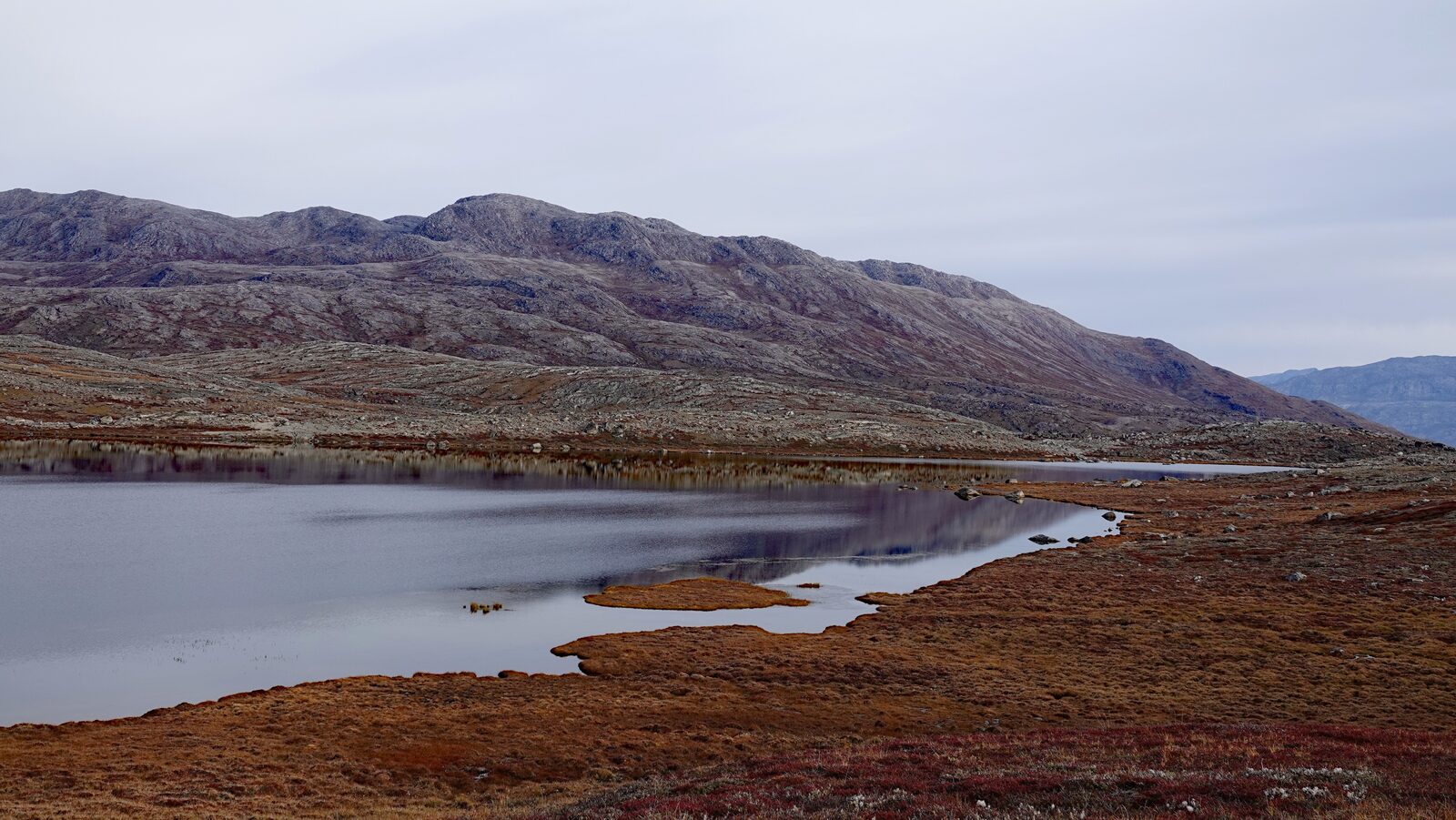
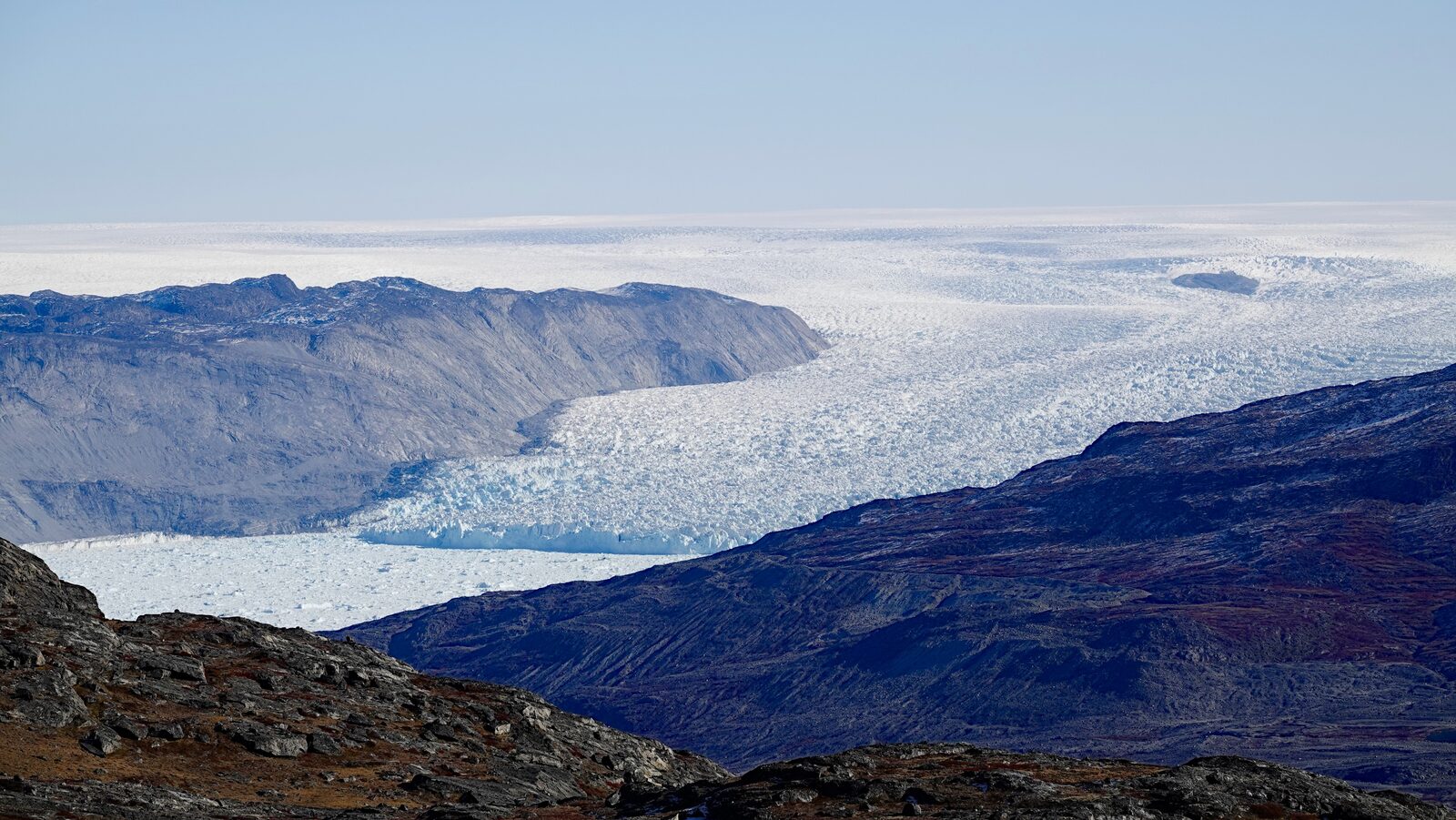
Another day of parallel crossing. The first part was a lot like the last day. At the end of the day we reached the Uukkaasup Tasia lake.
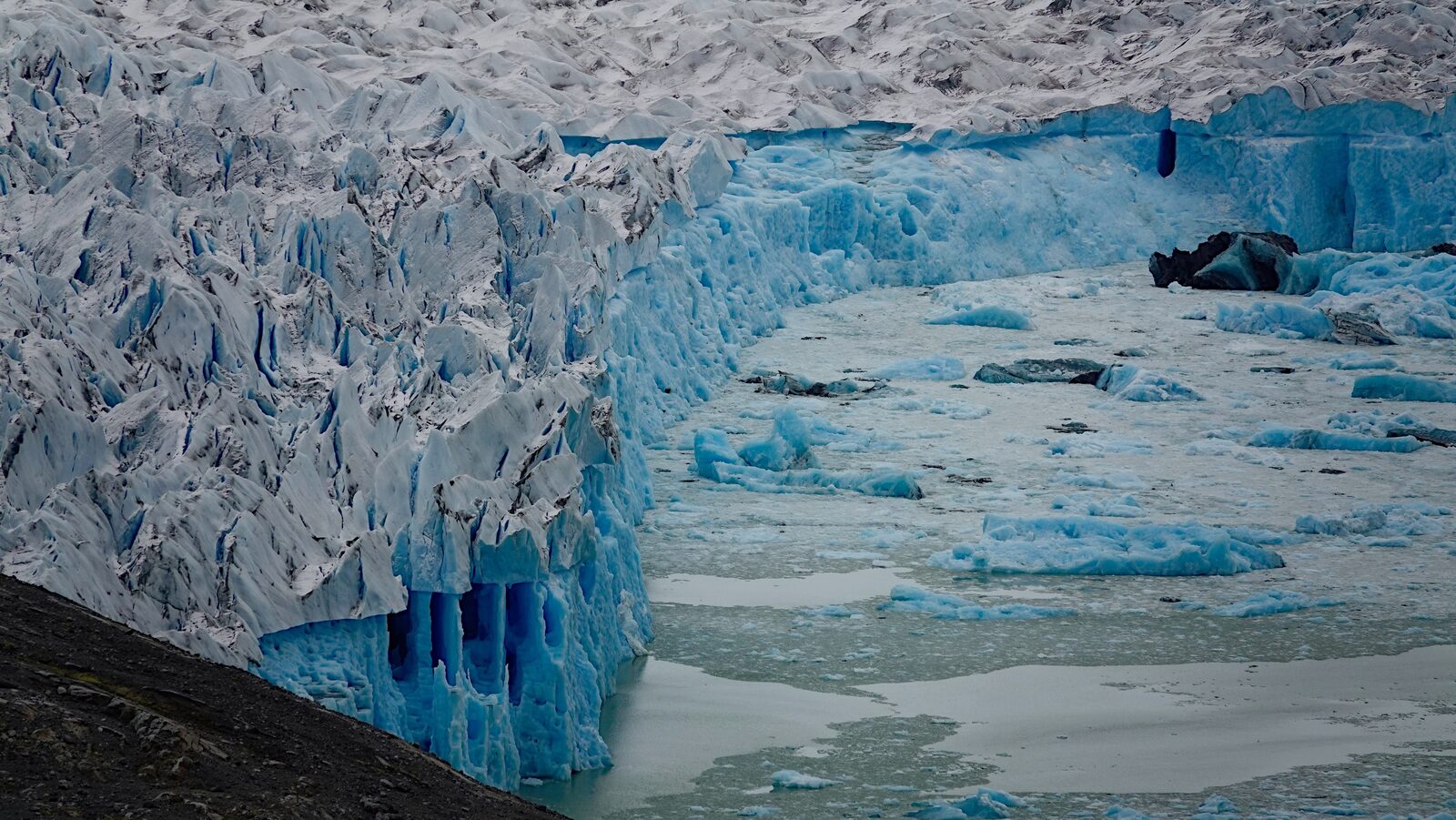
The Uukkaasup Tasia lake is special. One border of the lake is formed by the inland ice. The ice forms a sort of dam holding the water back. The same glacier tongue holding the water continues down to the ocean. While we were eating dinner something in the ice shifted and water started to flow through the glacier tongue out of the lake into the ocean.
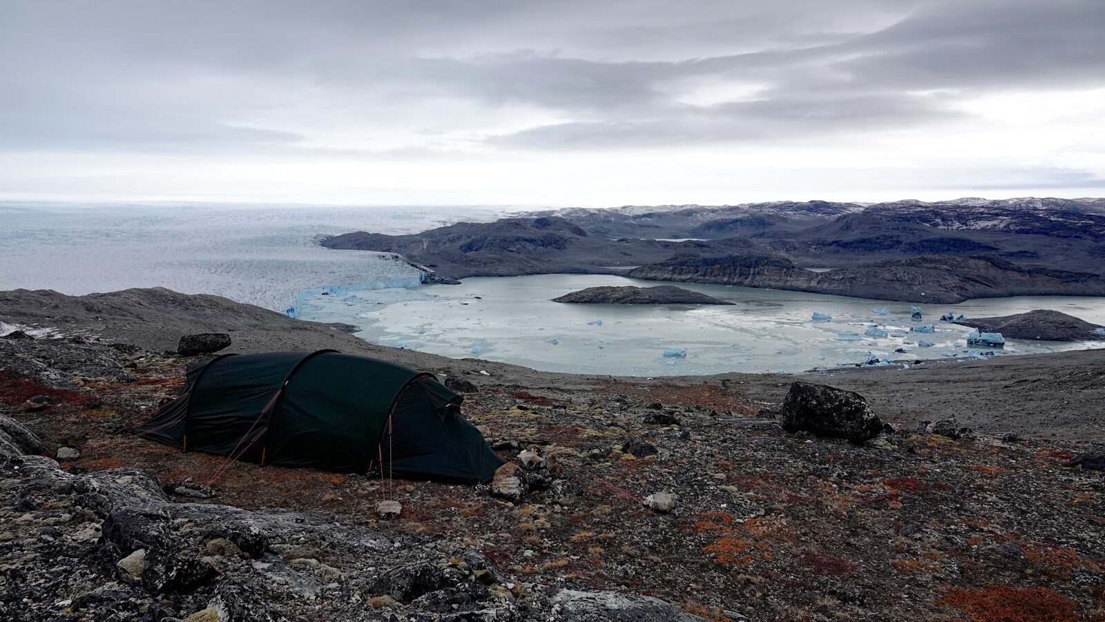
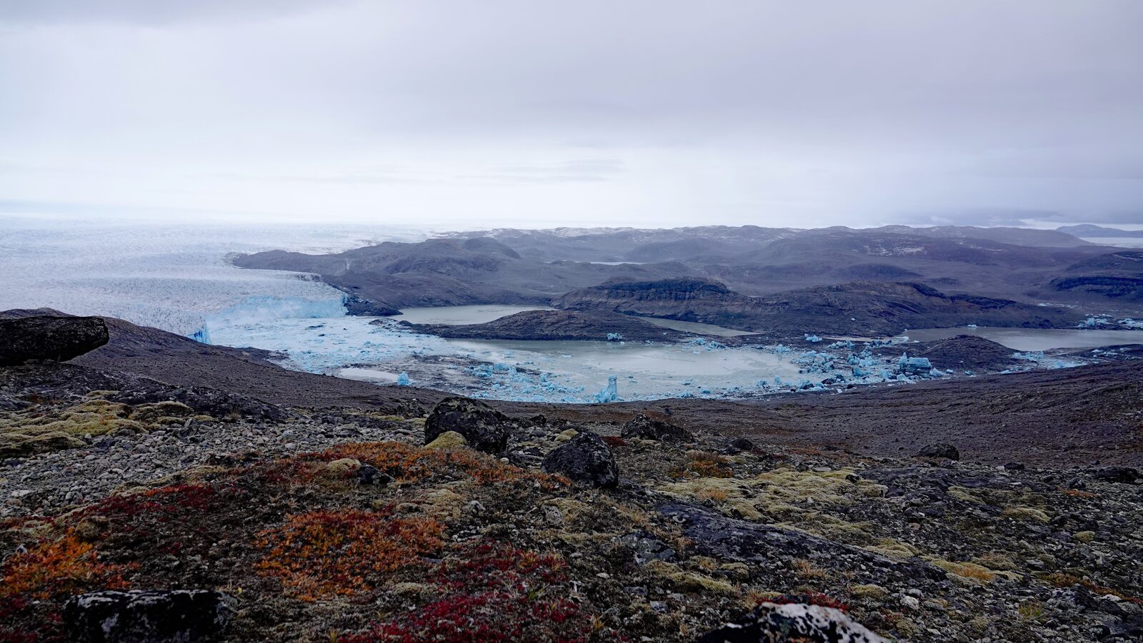
Day 4: Into the ice
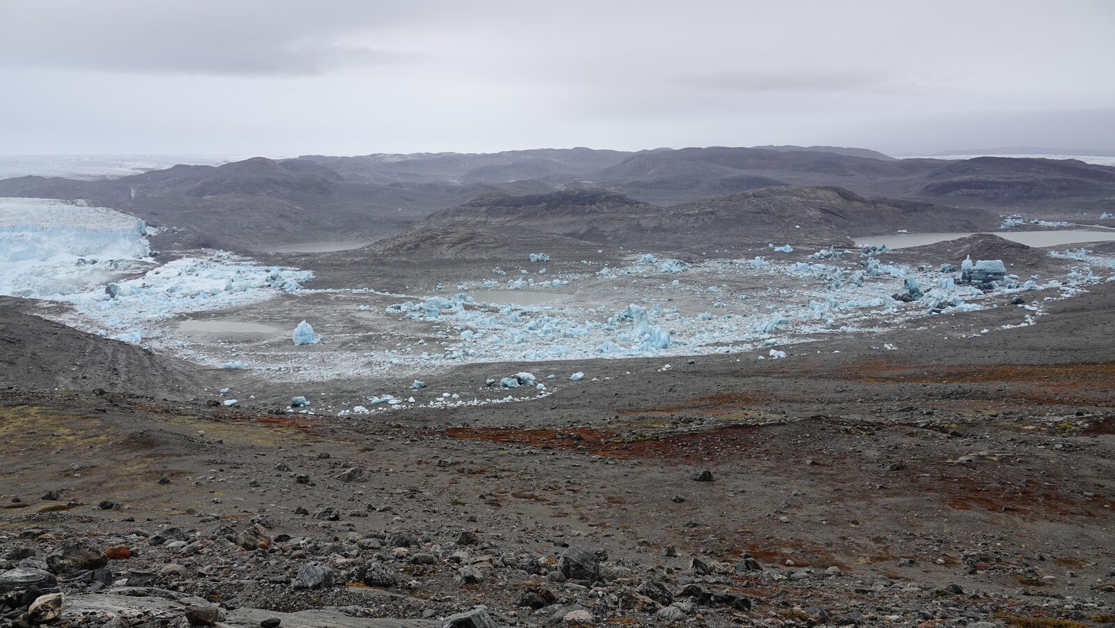
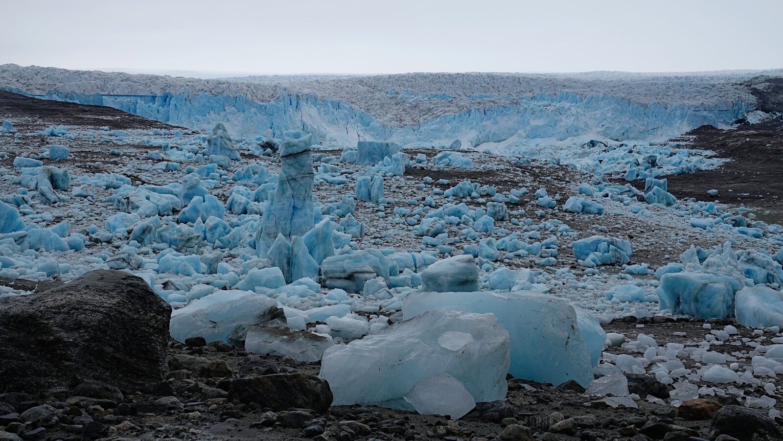
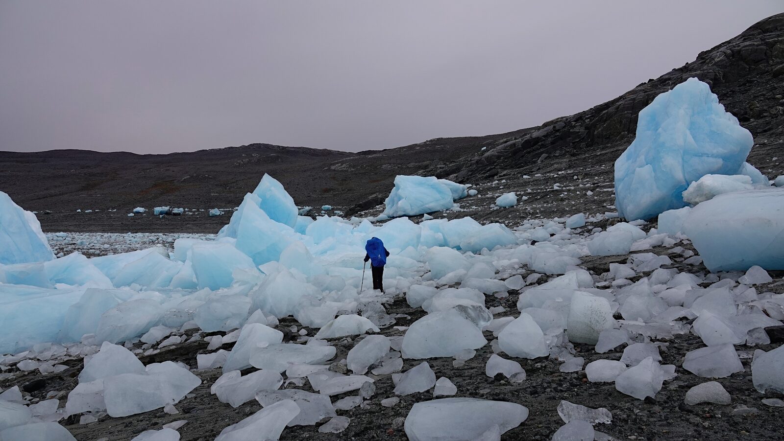
We woke up and the lake was completely drained and dry. We had experienced a Jökulhlaup (or glacier run). All the ice that was swimming in the lake was now lying at the now mostly dry lake bed. That meant we could take a little shortcut on our route and walk through the icebergs. When the lake was full it was bigger than the contours on OpenStreetMap.
Day 5: onto the Glacier
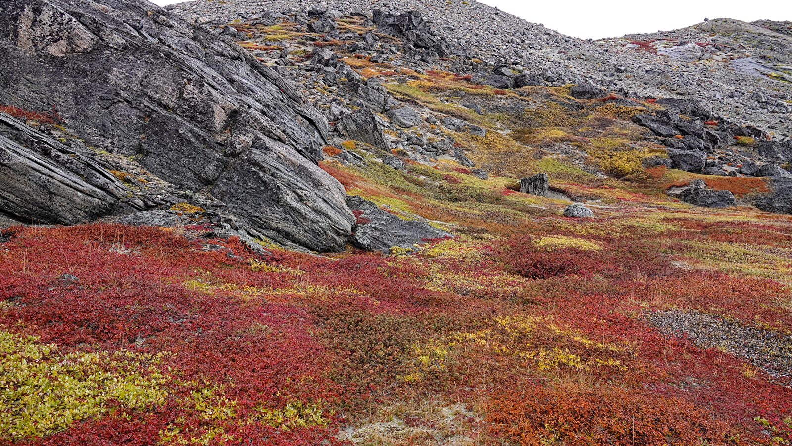
As we had some spare time left we decided to do a detour and visit the Kangaasarsuup Sermia glacier tongue. The approach over the moraine takes about an hour, and the glacier tongue itself is flat enough to walk on without any technical gear This detour is very worth it. You have a good panorama. On the way into the Austmannadalen we took some reindeer paths as a shortcut.
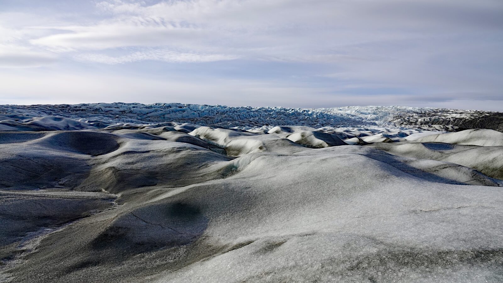
Day 6: Out through the Austmannadalen
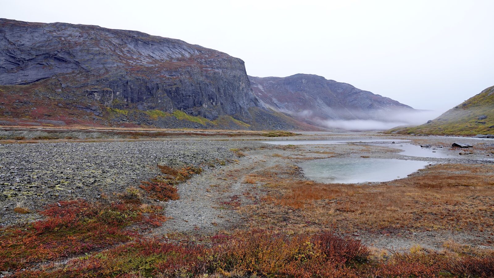
Because the lake up at the glacier was now empty, the river in the Austmannadalen valley was quite empty. This made hiking down the valley a bit easier. We saw lots of reindeer that day. We ended at Nansen campsite. This is the place where Nansen and his team arrived after they crossed the Greenlandic inland ice for the first time. But we did not see any remains.
Day 7: Through the settlement Kilaarsarfik
From Nansen campground we ascended on a marked path. It is important to take this path. On the way down we lost the path and decided to just go straight down. This worked but will presumably not work when the grass is wet. Where we came down the Ameralla fjord is completely filled in with sand. Up until the viewpoint over the Kilaarsarfik settlement there are no markings and no visible path. Kilaarsarfik is a small temporary settlement which seemed to be mostly used for hunting. After Kilaarsarfik until Kapisillit the path is visible and marked.
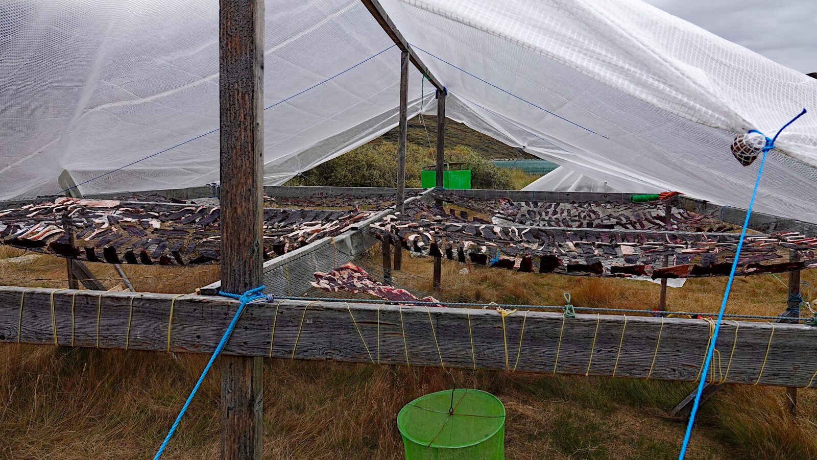
Day 8: Back to Kapisillit
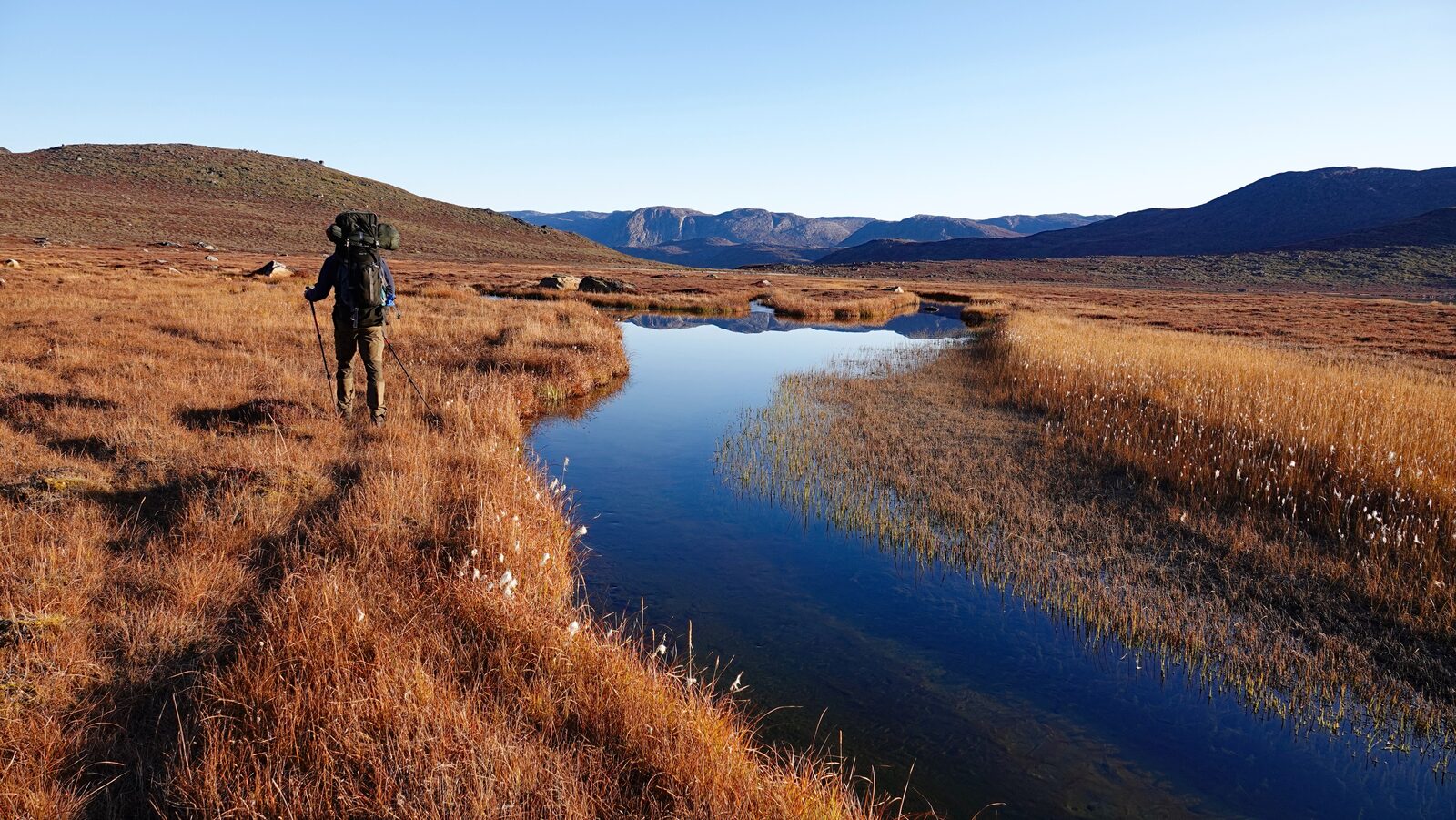
This was the last day of the first half. We saw lots of reindeer remains left behind by hunters. In the village we picked up the supplies we had left with the supermarket owner.
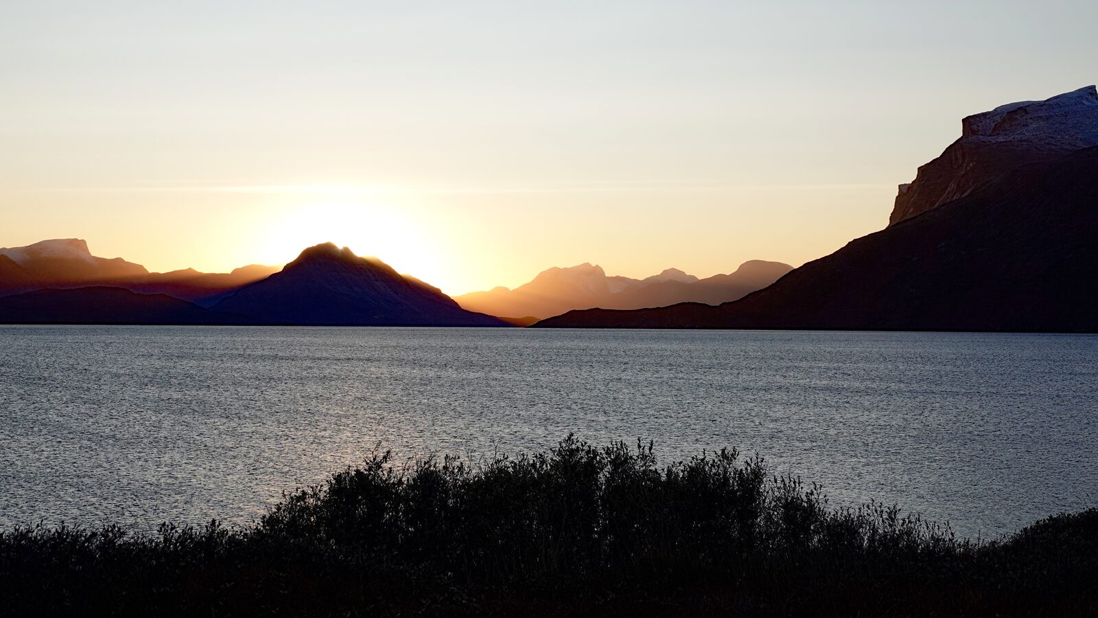
Day 9: Pingu
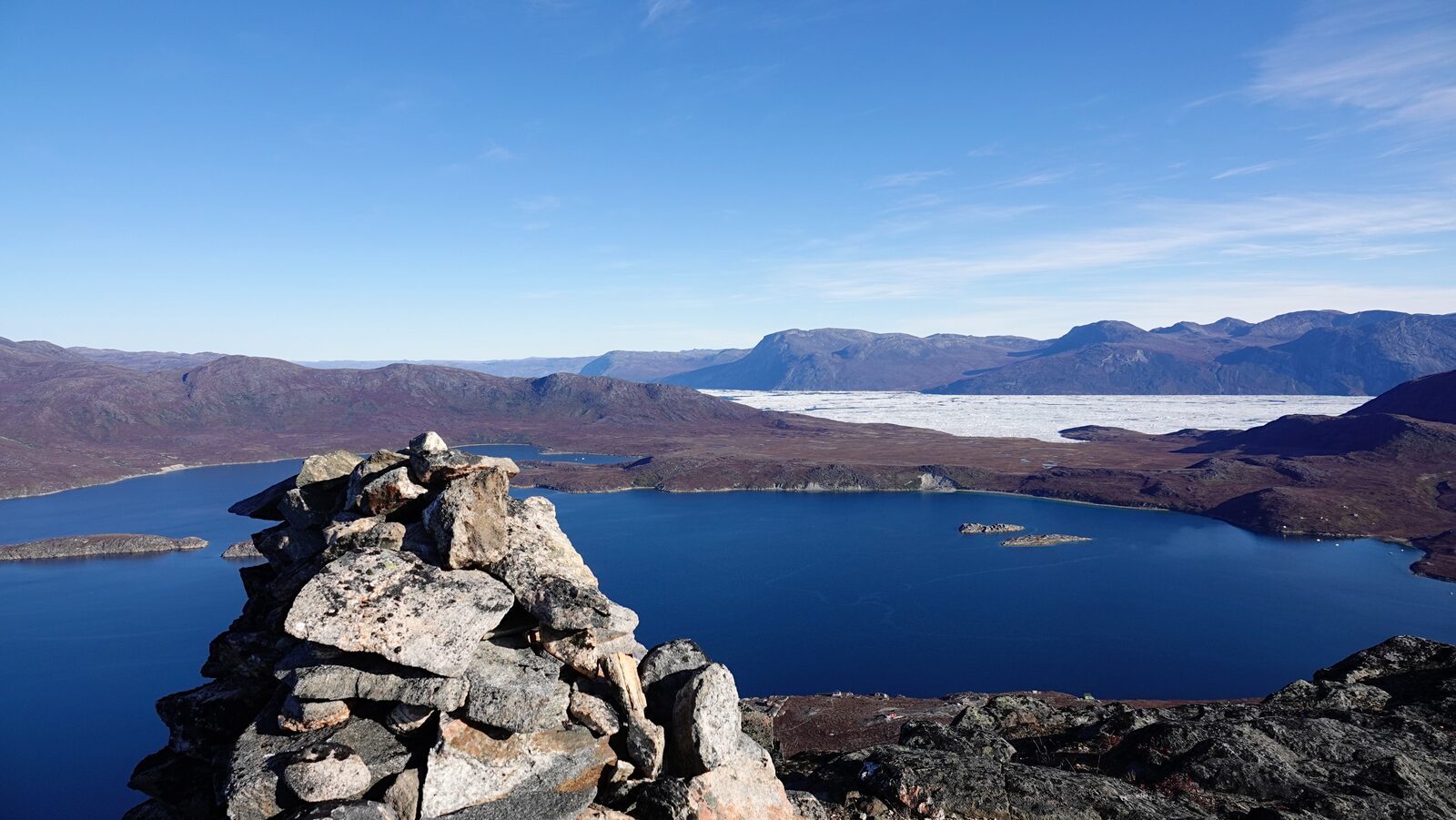
The Pingu is the 470m high mountain. It is the backyard mountain of Kapisillit. From up there we had a superb view of the area.
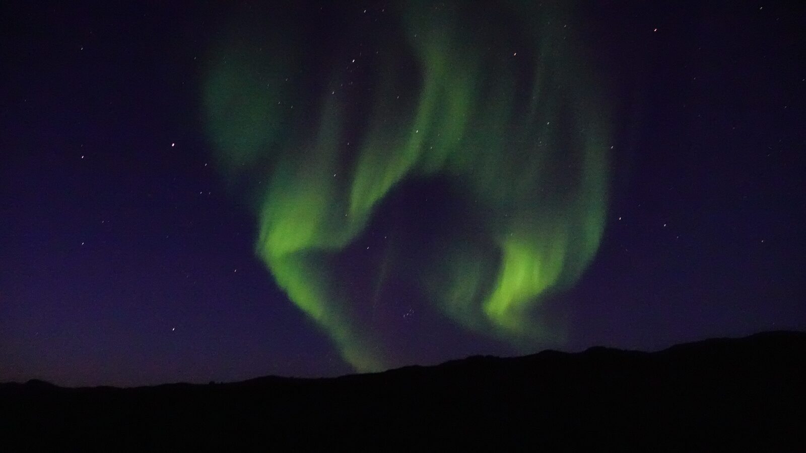
Day 10: coast marching
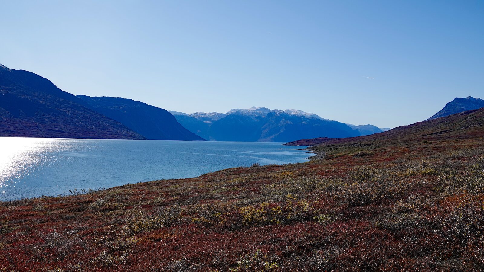
We came across the old settlement Itinnera. There used to be a reindeer farm here. Nowadays, the farm buildings are deserted. The last two thirds of this day we spent walking next to the coast. At the start we walked on the beach which was fine first but the beach got narrower and full of rock. This made walking with our heavy bags quite challenging. We tried walking above the beach but there were lots of bushes and small trees making walking very frustrating. A lot of times the moss was very deep, and sometimes you would stumble on moss hidden holes.
Day 11: into the mountains
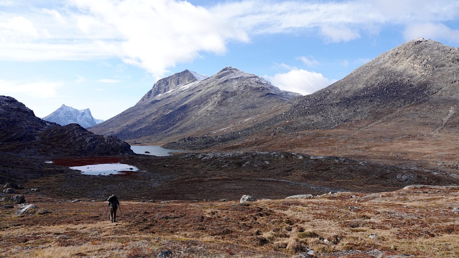
Right after the start before crossing the small peninsula the ground at the coast became very steep. We had to ascend through that steep area. It could be easier to traverse that last section higher up the mountain. But after that walking became way easier. The valley we entered after shelter 7 is a very beautiful mountain valley.
Day 12
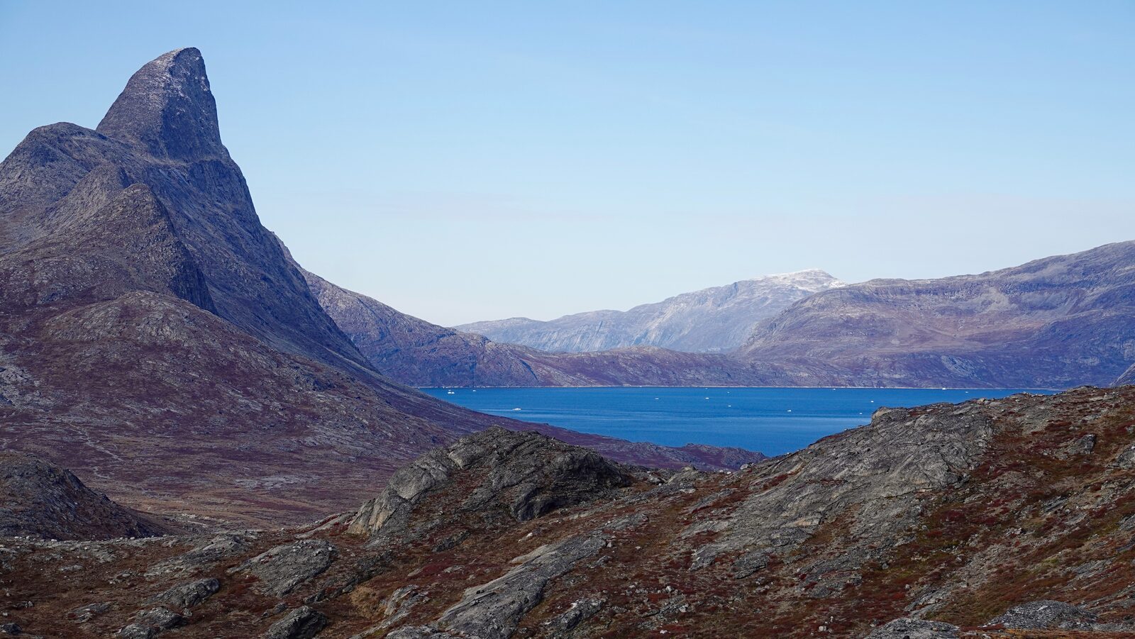
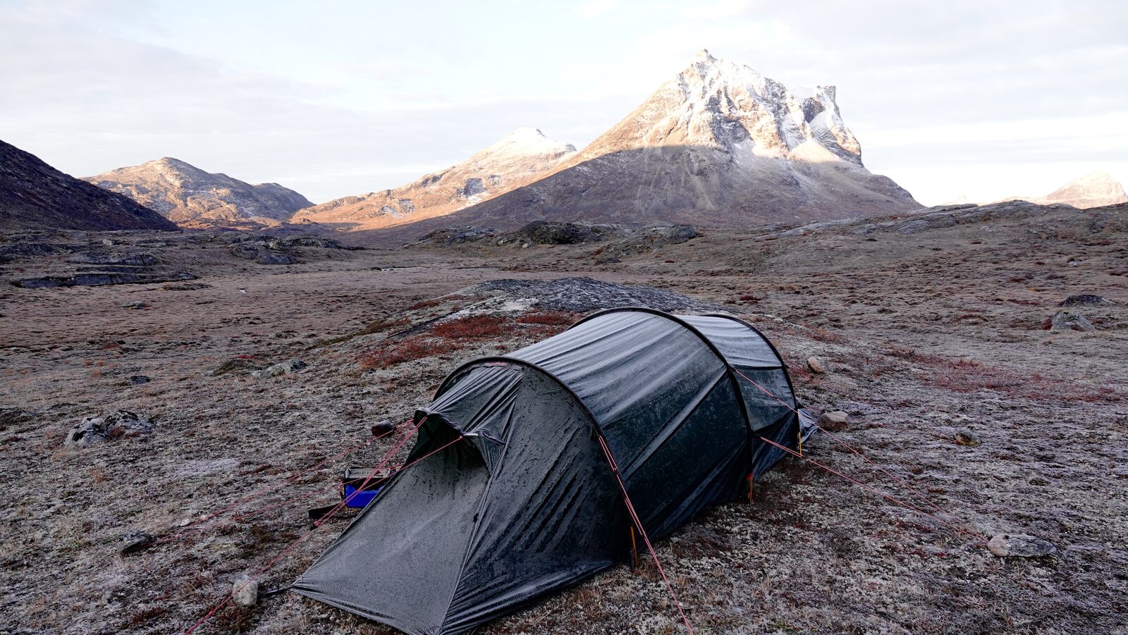
A relaxed day over open, mossy ground with mountains in view. At the end of the day we saw some remains of a path and old path markings.
Day 13
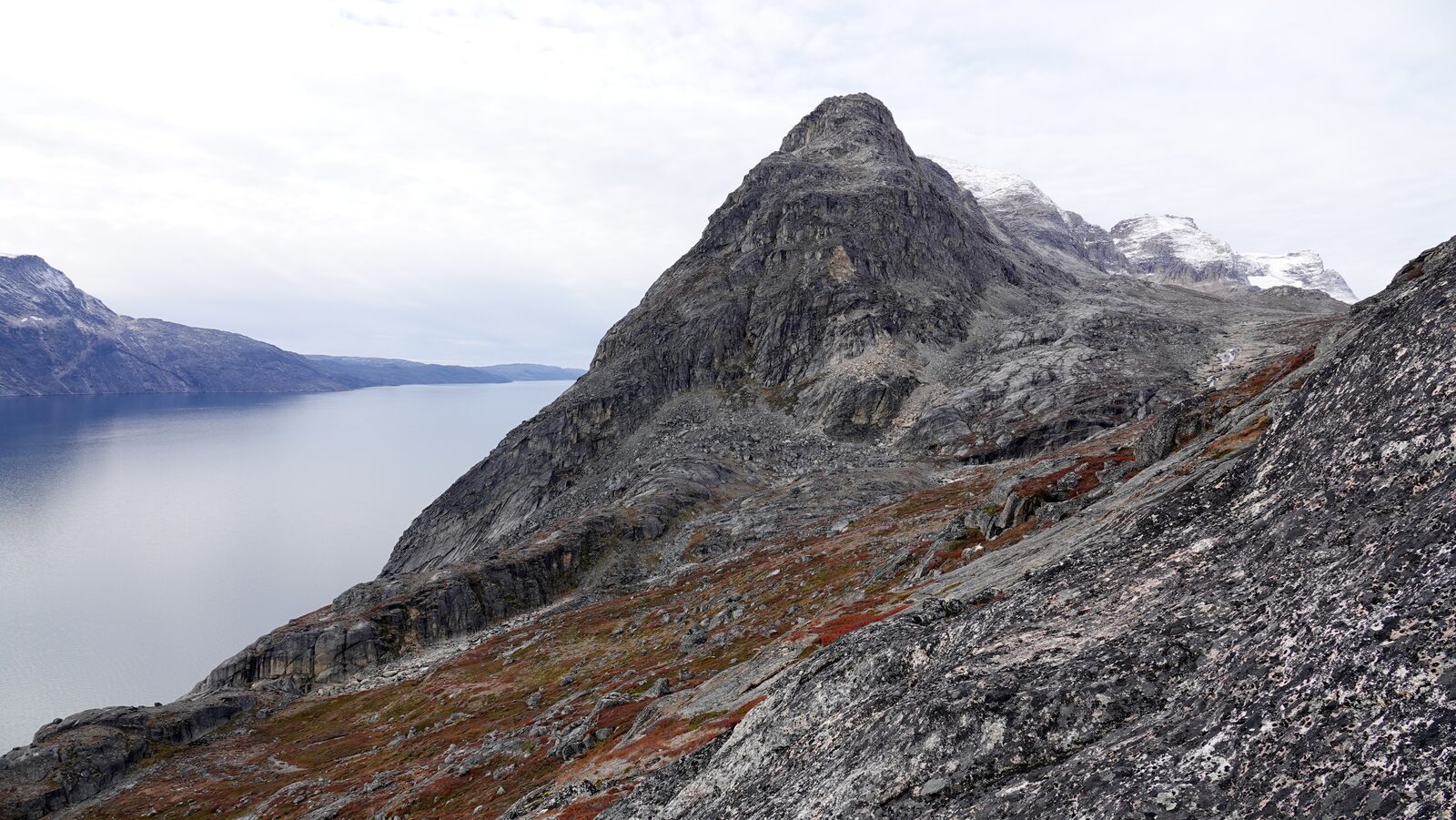
The day started with an intermediately steep climb. In the area above shelter 5 we decided to traverse high. Right at the beginning this was not easy as it was very steep and stone barriers sometimes forced us to take little detours. If the ground is wet you likely have to descend further than we did. Our evening camping spot is the last good place to camp before the Qassi lake.
Day 14: over the mountain pass
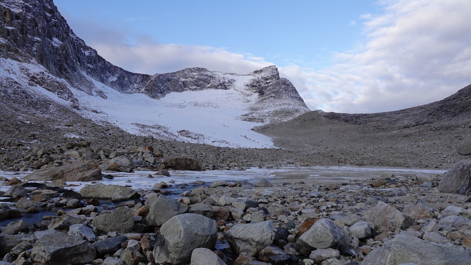
Right at the start we had to ascend steeply. The glacier is not as big anymore as it is on the map, but it is still easier to walk over it. After the pass is a very steep descent to a small lake. When we were there, there was already snow in this section which made it challenging. But I imagine it is still hard in summer. We were very slow until we reached the Qassi lake. After this it went easier. The path along this coast was marked and smoother than the coast-walking of earlier days.
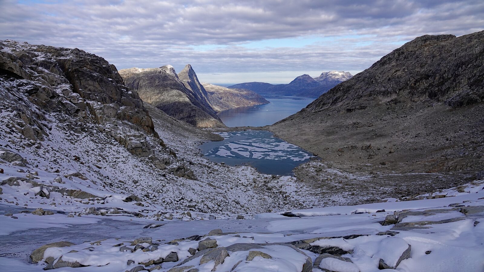
Day 15: Nuuk in sight
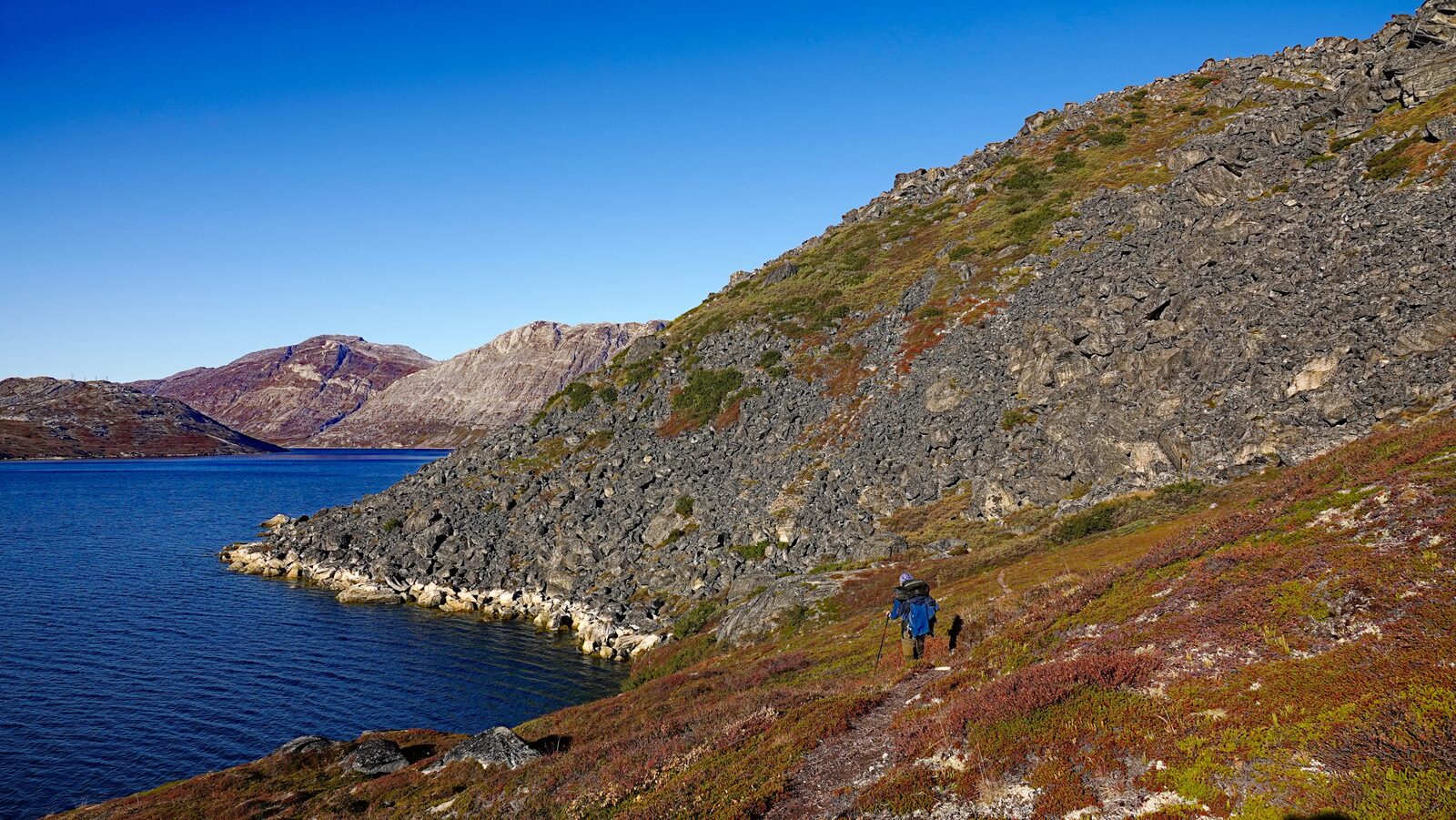
The path was visible well while we were walking along the coast. Just before shelter two there is a big stone field. It consists out of big stones and is steep. But the path through is well-marked and some ropes are affixed in steep sections. Still if the stones are wet this part will be quite challenging. After leaving the coast the path vanished and only returned at the beginning of the ascent before shelter one. We decided to not return to Nuuk immediately but camp on top of the mountain ridge above Nuuk. We found a little lake that had a level space for our tent.
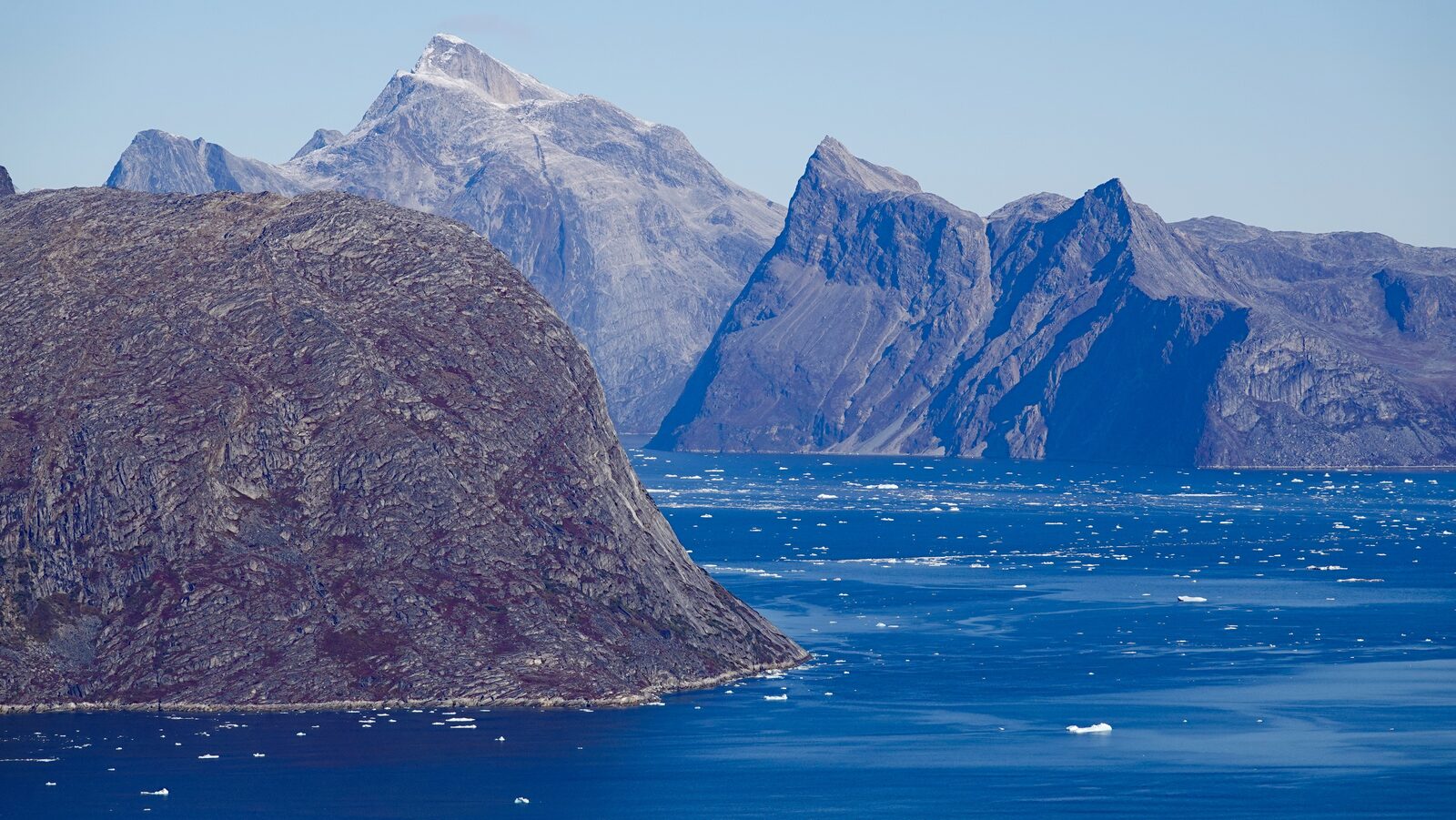
Day 16: back to Nuuk
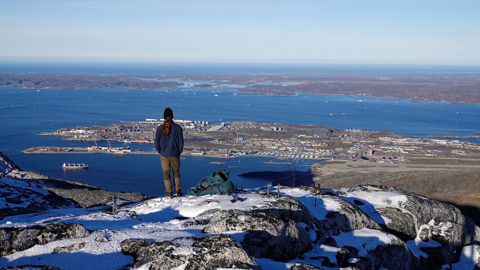
First thing in the morning we scaled the Ukkusissaq mountain to get a better view of Nuuk. We could also spot parts of our journey. After that we descended and quickly found us back among the civilization.
When we were planning the tour we struggled with finding reliable information about where camping gas can be bought. We found standard screw in gas cartridges at Kamik Deres Tank gas station. Also, the big Brugseni had them in stock.
Animals
- Sheep: we saw two sheep that seem to have broken out of a nearby sheep farm
- Rock ptarmigan: and lots of them. They often startled us with their loud flying noises.
- Reindeer: there were lots of dead and alive reindeer. The area around Kapisillit is used as a reindeer hunting area.
- Mosquito: but not too many of them as it was already fall and during nights it was below 0°.
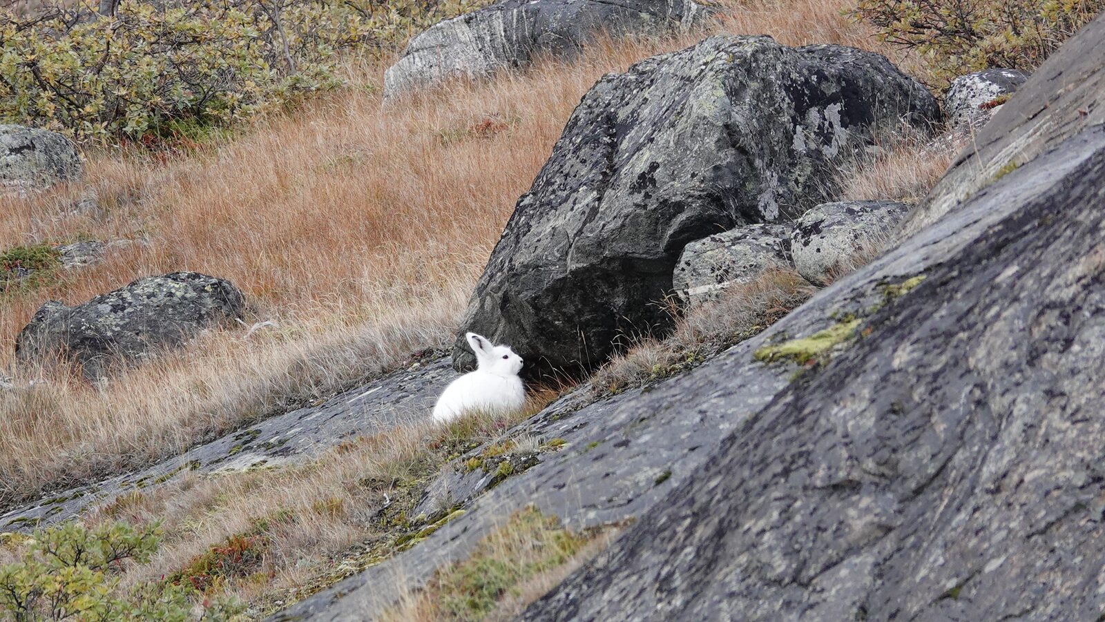
- Arctic hare: Some of them had already switched their fur to white so we easily spotted them.
- Birds: A lot of small ones and some big ones. I am sadly no bird expert and can't identify them.
Books
The good thing about long-distance hiking is that you cannot hike the whole day, so there is plenty of time for reading left. And because there are almost no other distractions you can fully focus on the book.
- Dungeon Crawler Carl by Matt Dinniman. a funny science fiction/fantasy book. I read multiple parts on this hike.
- The Shadow of What Was Lost by James Islington. nice fantasy book.
I can recommend all above-mentioned books.
--------------------------------------------------